Mt Whitney via Mountaineer's Route
April 22, 2017
Izzy, Nick, and I took the North Fork of Lone Pine Creek to the Mountaineer's Route. It was a busy day - there were lots of people on the mountain, and quite a few tents.
No skinning was needed, we were able to boot all the way up to the summit. We reached the snowline around the first creek crossing up the North Fork.
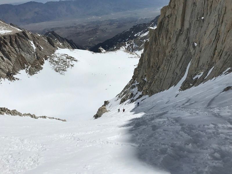
I put crampons on for the chute and used my light ice axe for the final 400.
After spending a few minutes on the summit, I was eager to get down before the chute hardened up, but it was too late.
I downclimbed the final 400 and side scraped (on skis) my way back down the chute because it had firmed up in the shade.
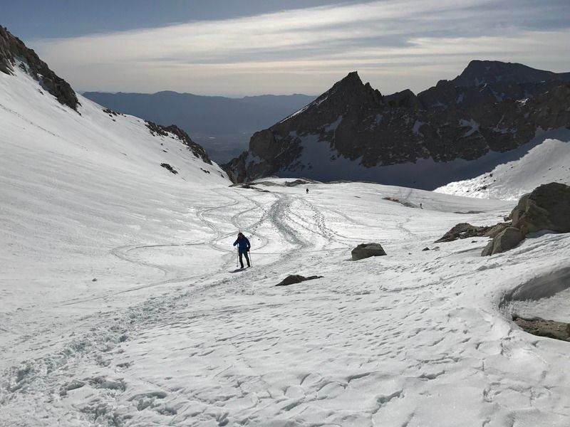
Skiing the slopes below that was nice.
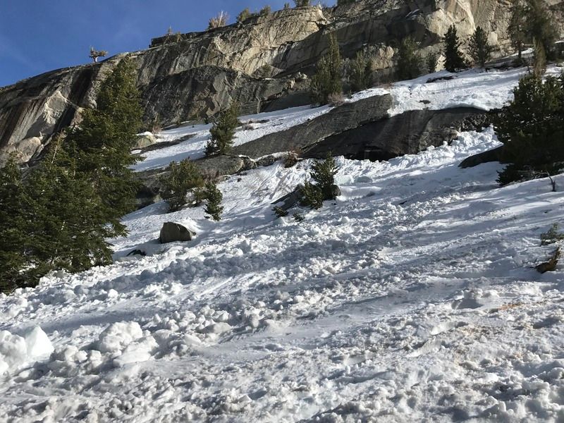
There was a wet slab avalanche around 9300 ft that hurt a hiker in the morning, and the day prior a man fell and died on the final 400. Be careful out there!
Do not follow this exact GPX route in summer - use only when enough snow is present.
Suunto Movescount (GPS and heart rate data) here:
http://www.movescount.com/moves/move152971285Note the altimeter and temperature sensors went wonky.
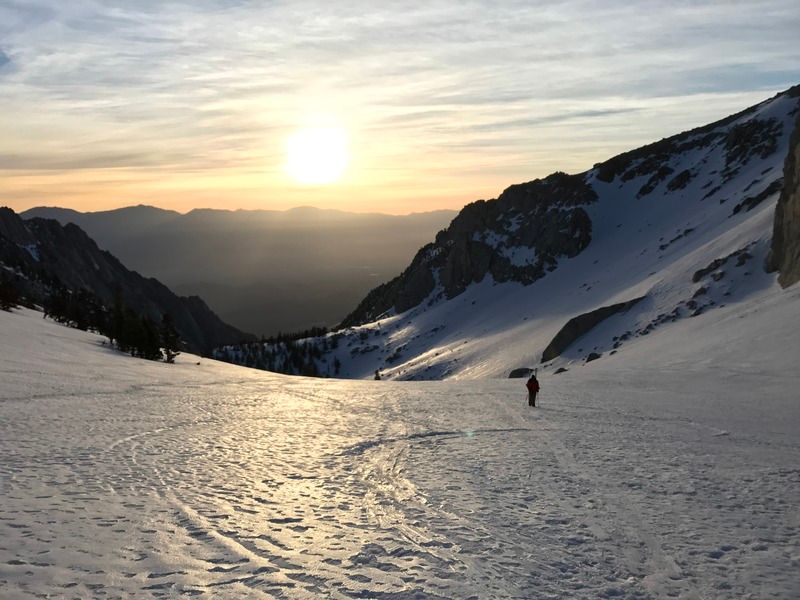
Izzy in the sunrise
Izzy again

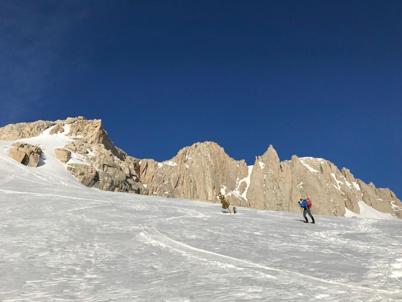
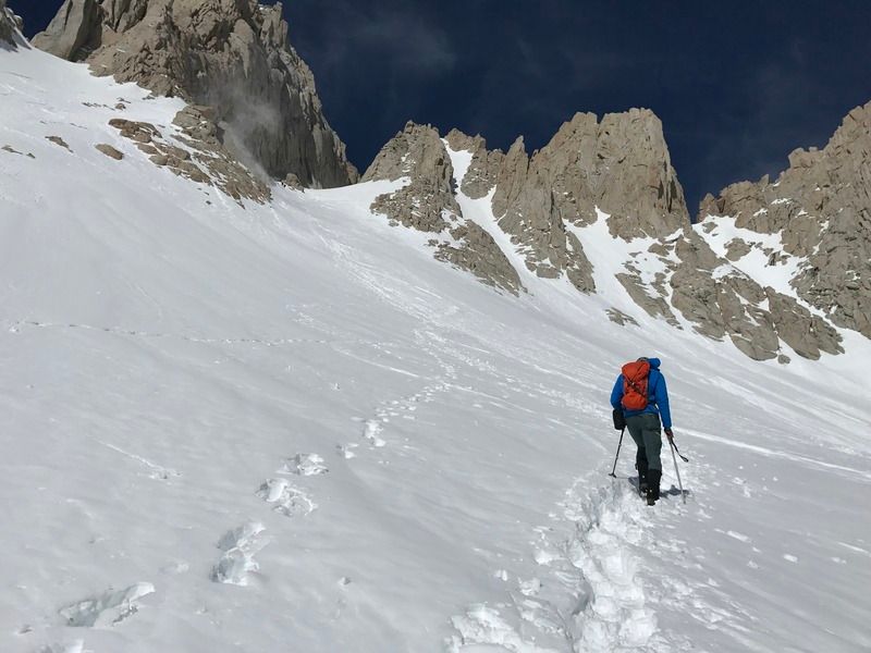
Nick cruising up
Nick and the rescue chopper in the sky
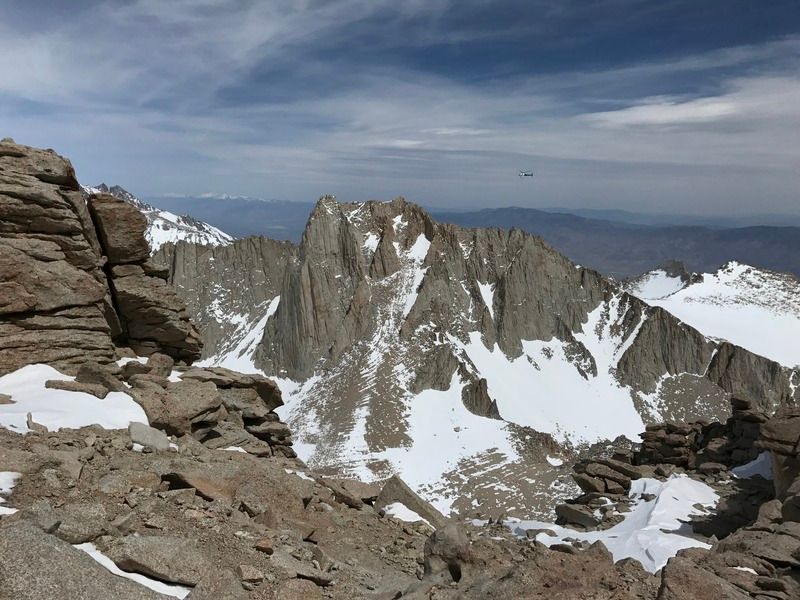
Thor Peak in the center
Pinnacle Ridge, almost to Iceburg Lake

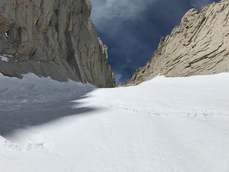
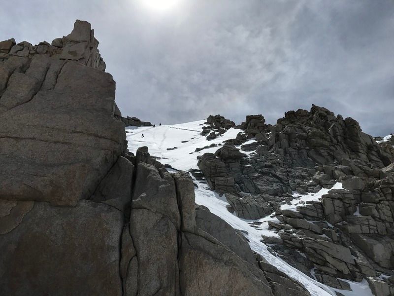
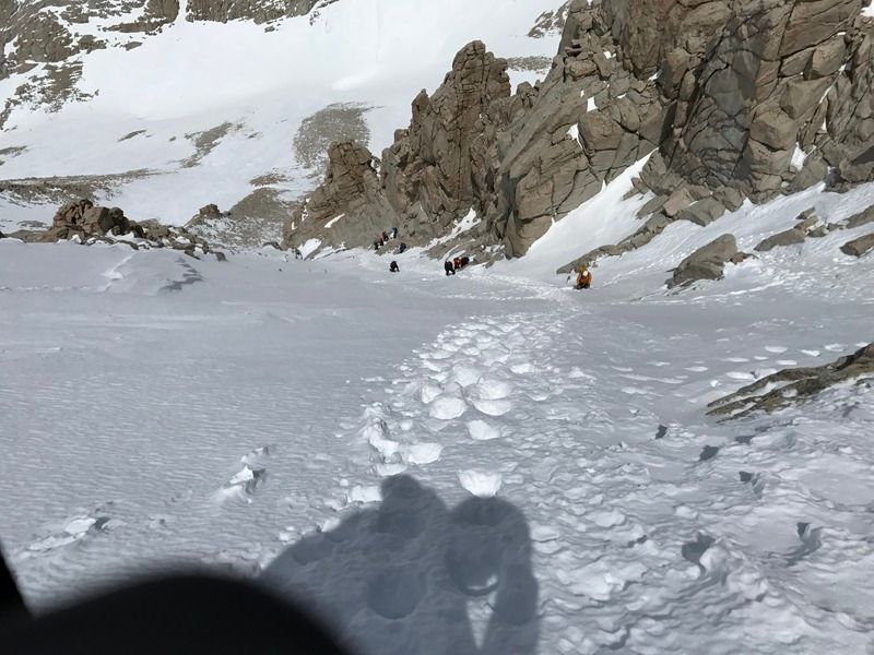
Into the chute
Up!
Down!
At the notch
Russell and the rescue chopper
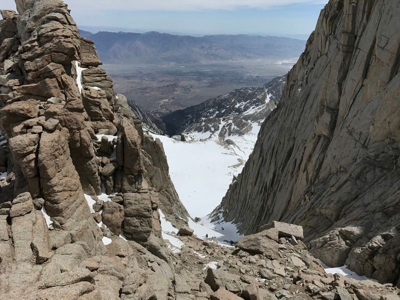
Looking up the final 400 from the notch
The easy walk off...
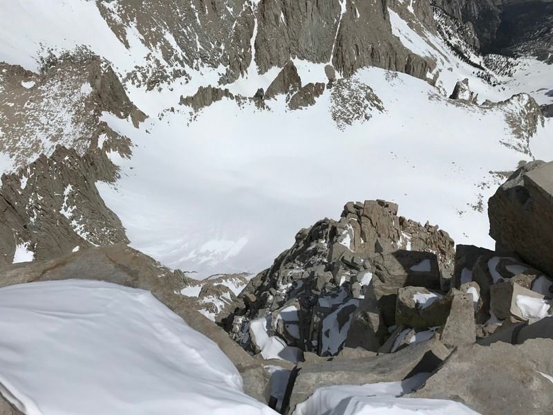
Looking down the final 400
Topping out the final 400
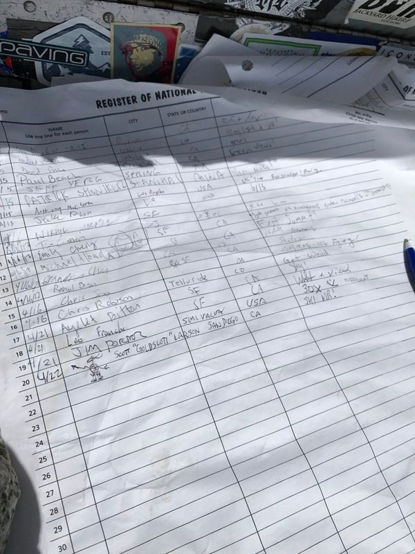
Register (I didn't draw that)
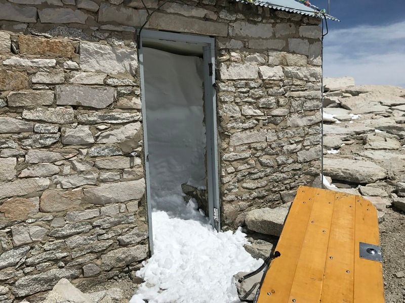
Door is blown off the hut
Looking straight down the east face
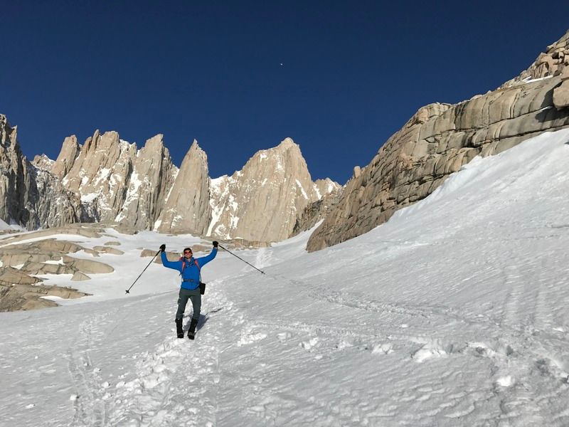
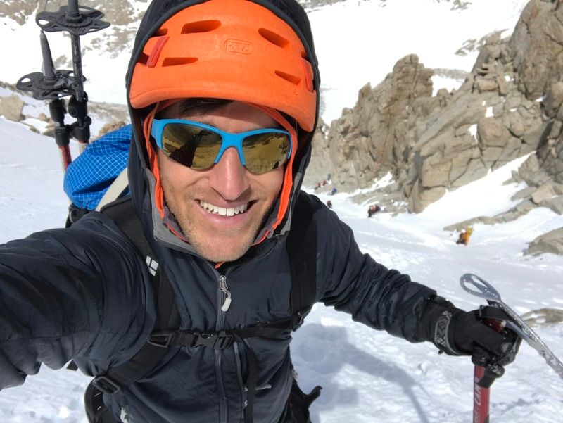
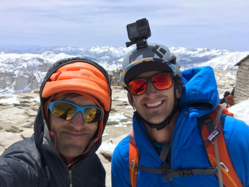
Nick and I on the summit
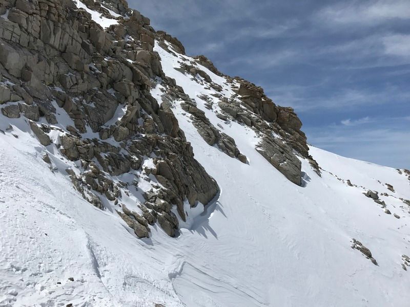
Ski tracks
Avy debris