Middle Palisade
June 18, 2016
Julian, Sarah, and I woke up at 0130a and hit the Big Pine Creek trailhead at 0228a.
We made quick work of the south fork trail and by sunrise, we were at the lower drainage of Finger Lake, about 3200 m (10500 ft). This was mostly snow free (any snow was easily avoided).
We put on crampons and went up the gully where what I'll call "Frog Lake" (the tarn at 3460 m just west of Finger Lake) drains. There happened to be quite a symphony of frogs croaking up there.
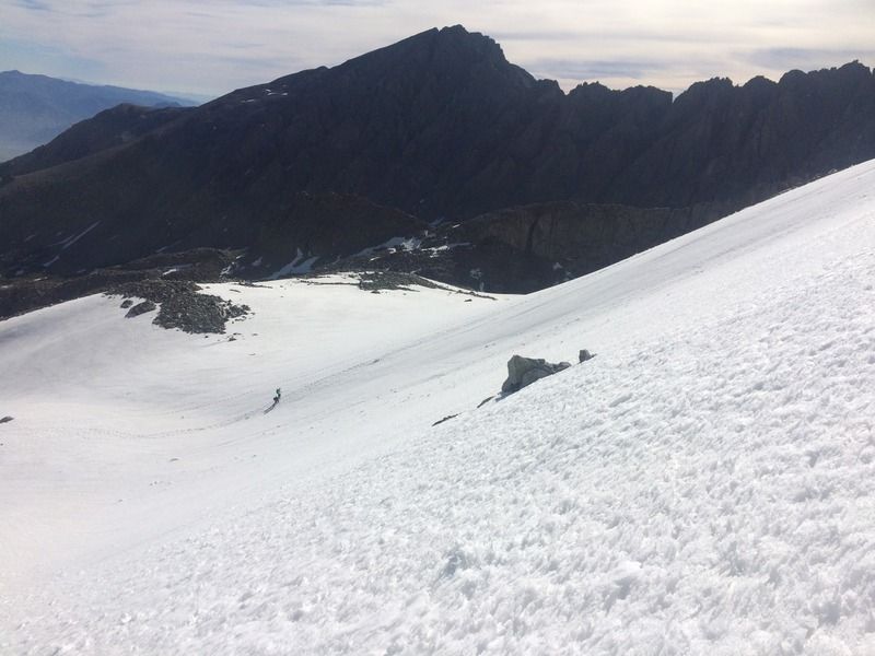
From here we continued south on the ridge between the two lakes, then headed straight for the glacier, hopping along the moraine fields.
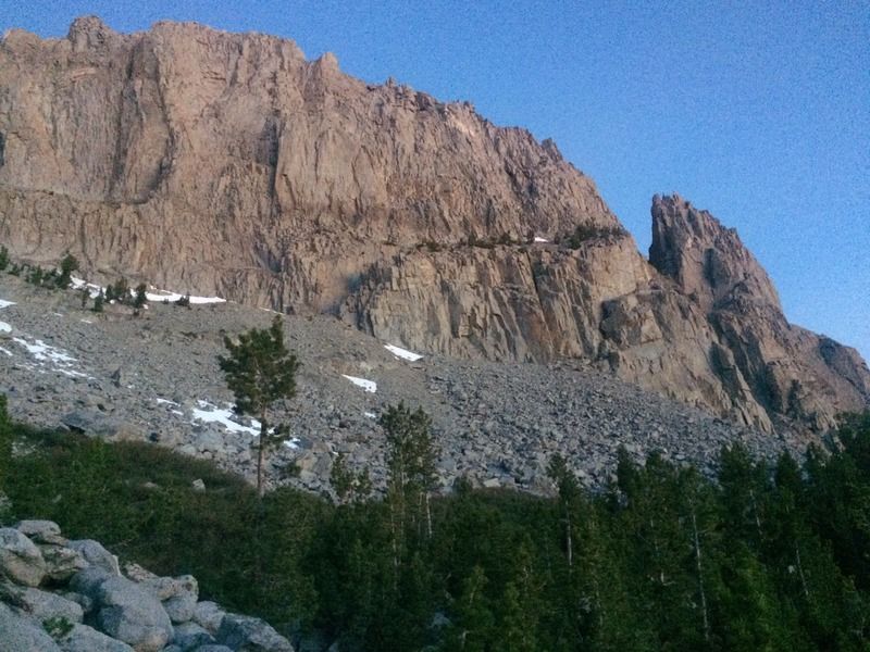
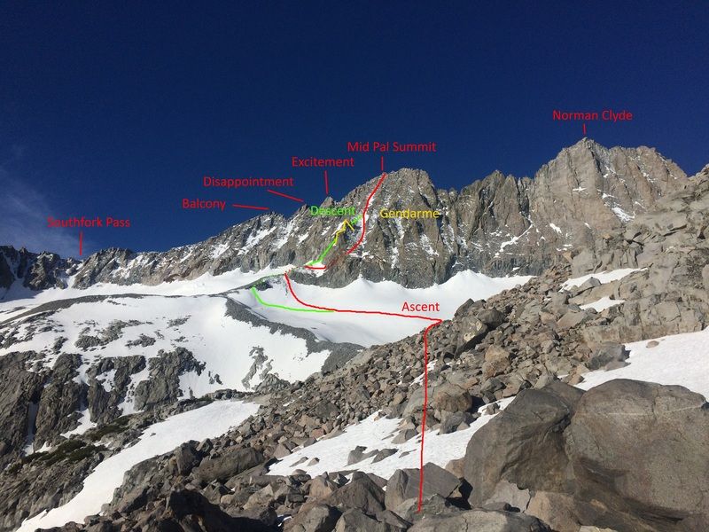
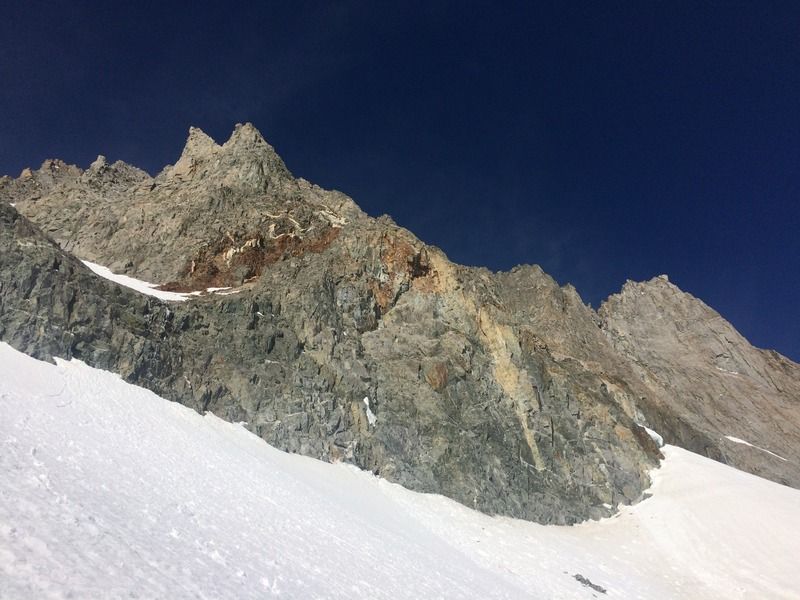
After numerous rest stops and bathroom breaks, we made it to the base of the glacier. Crampons went back on and we traversed across the glacier to the moraine that splits it in two. I opted for a steeper, more direct route, while everyone else went a slightly longer way around. We traversed across a low hanging snow field, and then went up the red/white rock band to get into the main chute, the large gendarme just to our left. This was loose, snowy, and icy, and we were trying to ascend without crampons on. After a few minutes of risk and complaining in this sketchy section, we found an almost level rock to sit on and strap on our crampons. I then bolted up the snowfield, setting the boot pack for the rest of our group and two others who were climbing at our pace, Chuck and Mike. It took us seven hours to get to the base of the red rocks (but it felt much faster). The final 1400 feet up this class 3 peak took us 5 grueling hours, and we made the summit around 1440p. The routefinding and scrambling was difficult, and we had to help each other up, over, and across some rock.
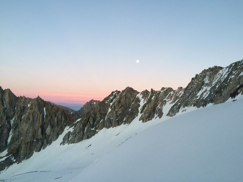
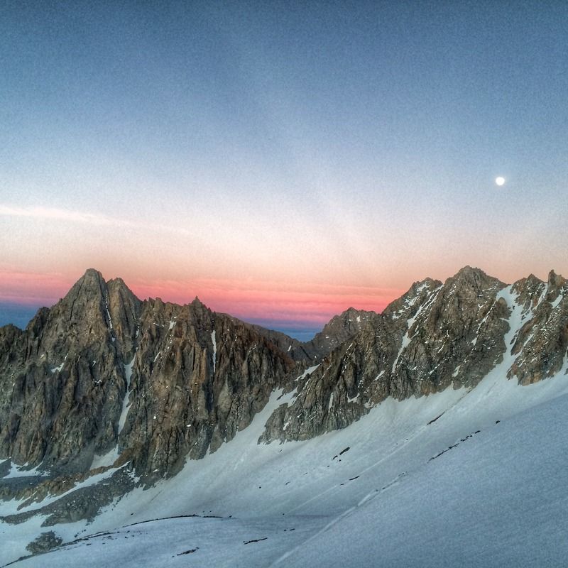
There was a brief rainbow at the summit and the views were incredible in all directions. We stayed at the top for maybe half an hour - it was windy up there. Our descent was just as slow as our ascent. We took the east flank down the gendarme, which was mostly snow free and crampons were unnecessary. It was loose though, and I sent a softball-sized rock smack into the top of Mike's head (sorry mate!). Luckily we were all wearing helmets and I was not far above Mike, so he was uninjured. Sarah was having difficulty descending in the snow conditions and Julian graciously helped her down. I was bonking at this point; I did not expect this outting to take so long. My body was shutting down. I vomited. I napped near the saddle of the gendarme with Chuck and Mike, before getting too cold waiting, so we continued down. On the route we took, we were unable to transition smoothly from the rock to the glacier - we had a 15 foot section above the bergschrund that we were unable to downclimb, so Chuck and I rigged an anchor while Sarah and Julian caught up. I lowered each person using a Munter hitch on two locking biners clipped to a cord slung around a rock. We used some tubular webbing for a diaper harness. Finally, I rigged my rappel using a Munter on a locker on each strand, backed up with a prusik - safety first. We regained the glacier around 2000p and were treated to a beautiful moonrise/sunset, lighting up the sky in an amazing display of color. We all put our crampons on and I vomited again shortly after we got on our way. I was bonking hard and the day's efforts had drained me way past my expectations. I felt a little better and started bombing down the glacier with Chuck and Mike, leaving Julian to take care of Sarah. I needed hot food. The glacier snow was firm and make for a quick walk down. Chuck and Mike were camping at frog lake, and they made me some hot food while I rested for about 45 minutes waiting for my party to catch back up, hoping I would spot their headlamps on the ridge above us. We set a headlamp to flashing mode, providing a beacon for them to find me.
I ate some delicious instant mashed potatoes (thanks again, guys) and after 45 minutes, met back up with Julian and Sarah. We were traveling slowly, taking our crampons on and off down various snowbanks. We descended the way we came up, but had some routefinding difficulties crossing the river from Finger Lake and trying to regain the normal trail around 3100 m where it jogs east to Brainerd Lake. Once back on the established trail, we cruised down, having crazy, entertaining, tired conversations. Around 0300a, we ran into two climbers heading up, and then we found ourselves at the creek crossing, which had swelled as the warm day accelerated the snowmelt. We dicked around for 20 minutes trying to find an easier crossing, but in the end, we crossed over the same way we came, finding it easier than it looked. I think it is harder to cross on the return to the trailhead, just the way the rocks are layed out. We dragged ass to the trailhead and finished at 0420a, a brutal 26 hour hike. We napped for two hours and then made the drive back home. Looking forward to next weekend's escapades!
Timesheet
0228 Start
0312 Creek crossing
0620 Ridge above Finger Lake
0840 Neck between glaciers
0930 Base of red rocks
1440 Summit!
1500 Leave summit
2152 Reach frog lake camp
0340 Creek crossing
0420 Finish
Photos courtesy of me, Sarah, Julian, and Ian (he was the first person to summit that day and gave us the beta to descend east of the gendarme)
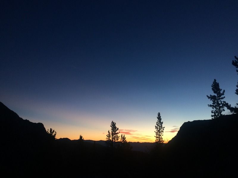
Dawn from below Finger Lake
Sunrise from below Finger Lake
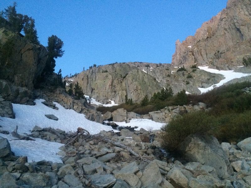
Looking up our two snow ramp options to climb above Finger Lake
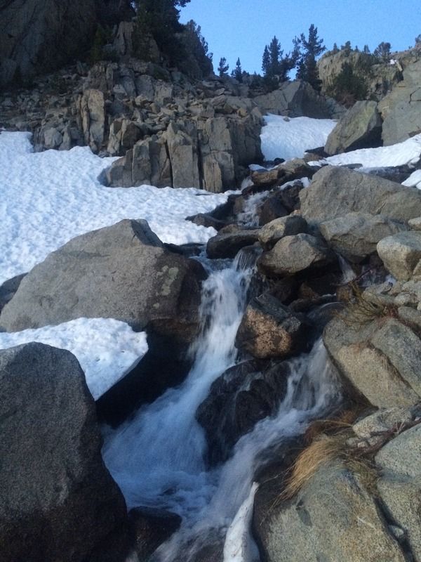
Melting quickly, undermining the snow
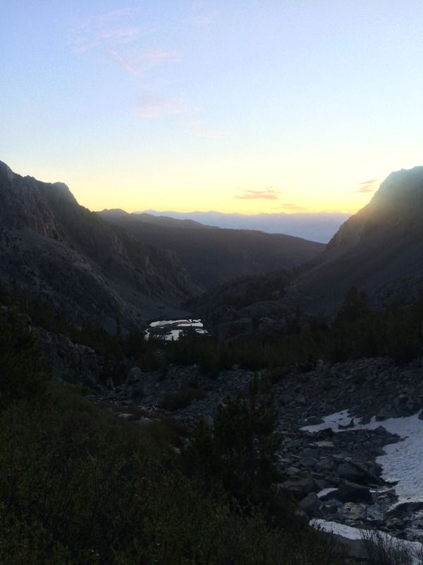
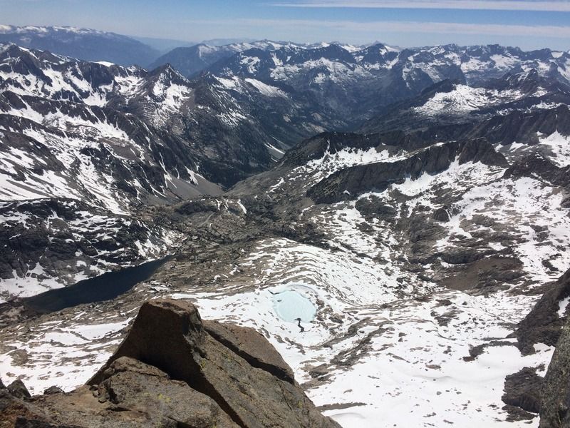
Looking back toward Willow Lake, below us
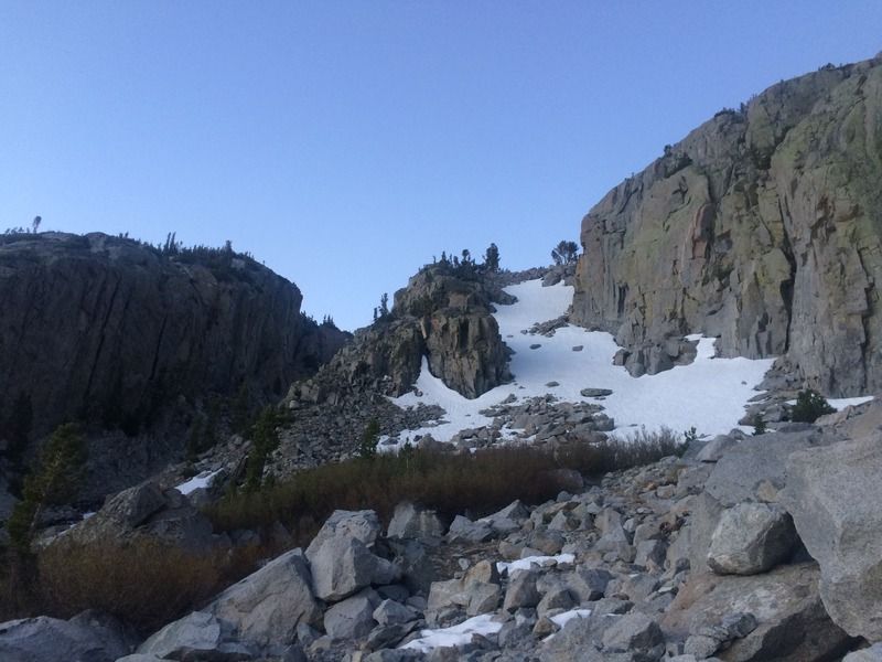
Looking up the ramp
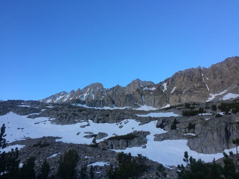
Our first open views of the Palisade crest
My annotated climb (in red) and descent (in green)
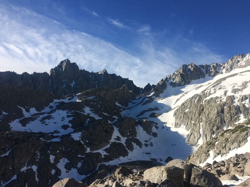
Amazing view
Looking southeast toward The Thumb and Southfork Pass
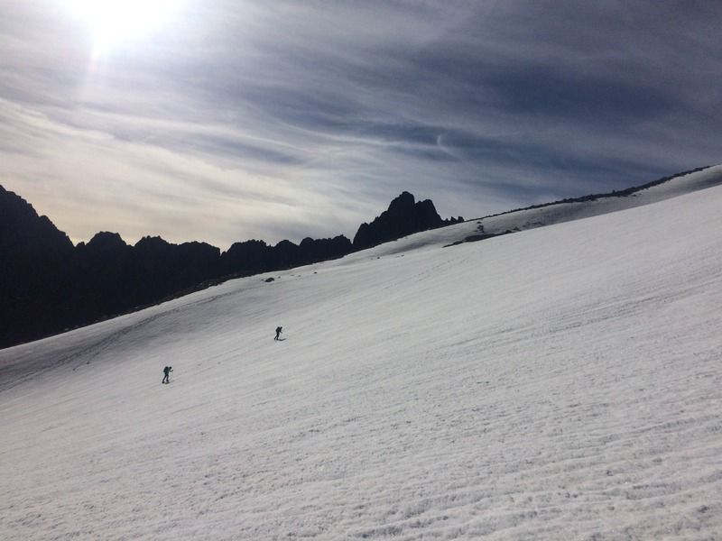
Julian and Sara on the glacier
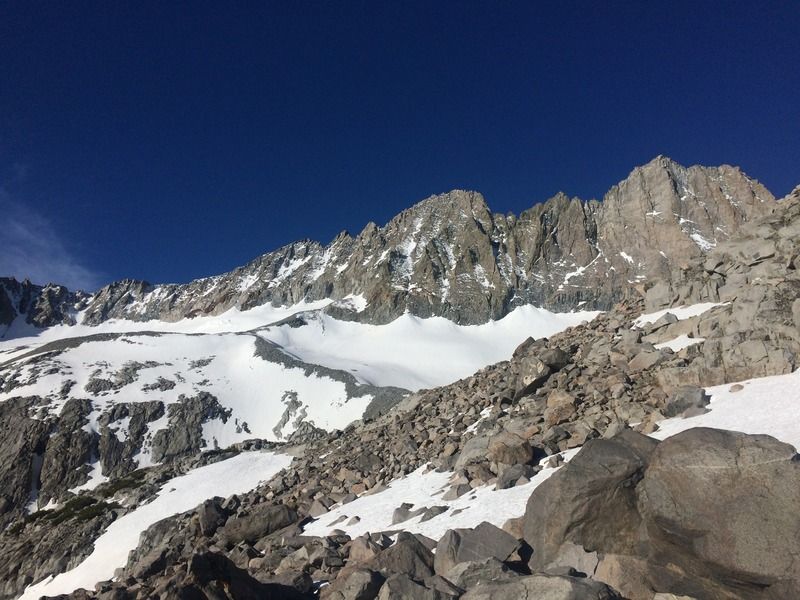
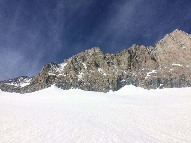
Looking up the glacier to Mid Pal, center, and Norman Clyde, right
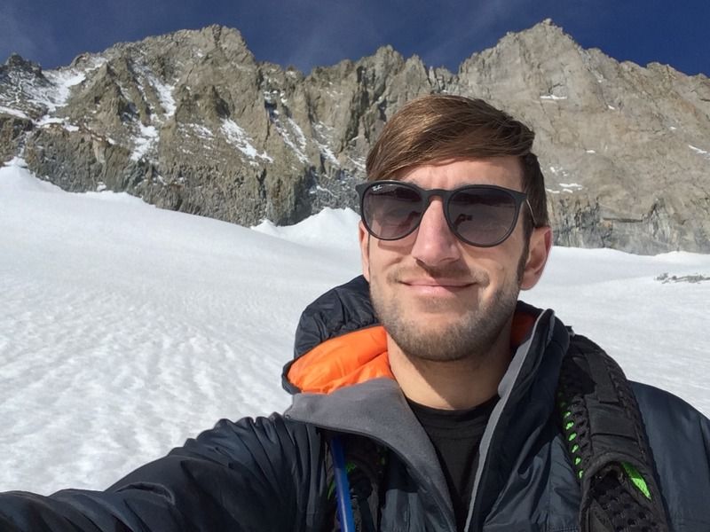
The peaks towering behind me
I went up to the right, everyone else went around to the left, following the green descent path on the annotation above.
Sarah and Julian on the glacier below
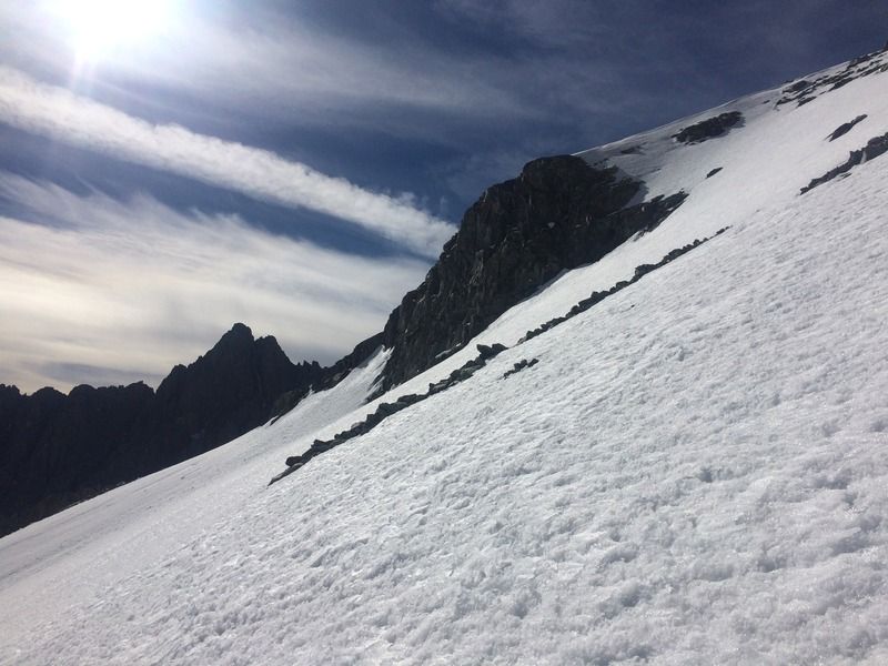
Looking up to the hanging snowfield and the red rocks
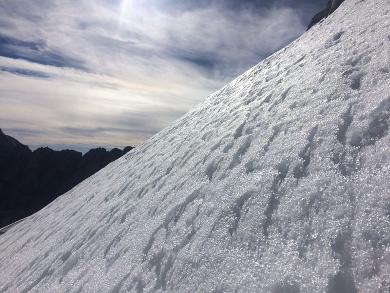
It gets steep
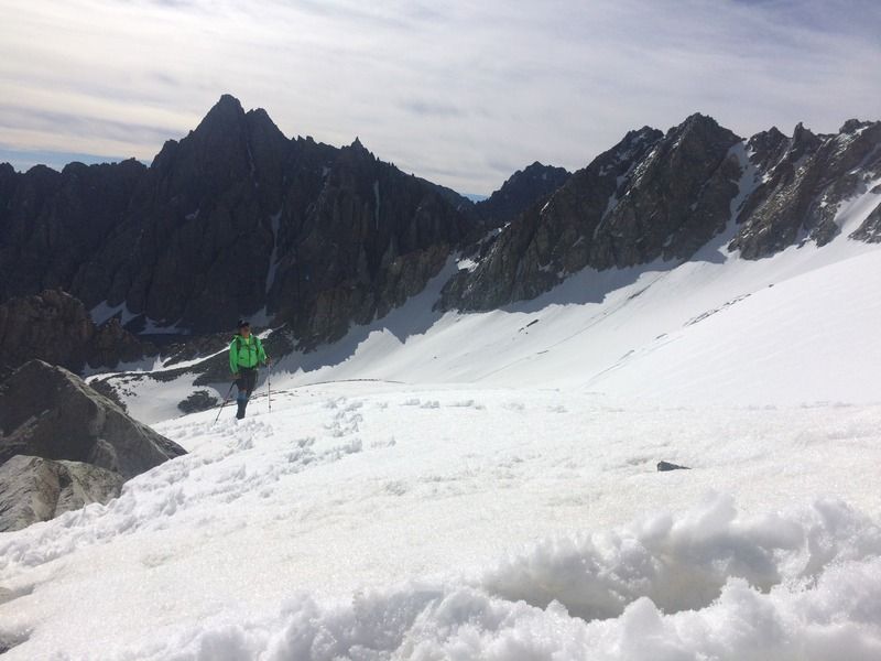
Julian nearing the top of the glacier
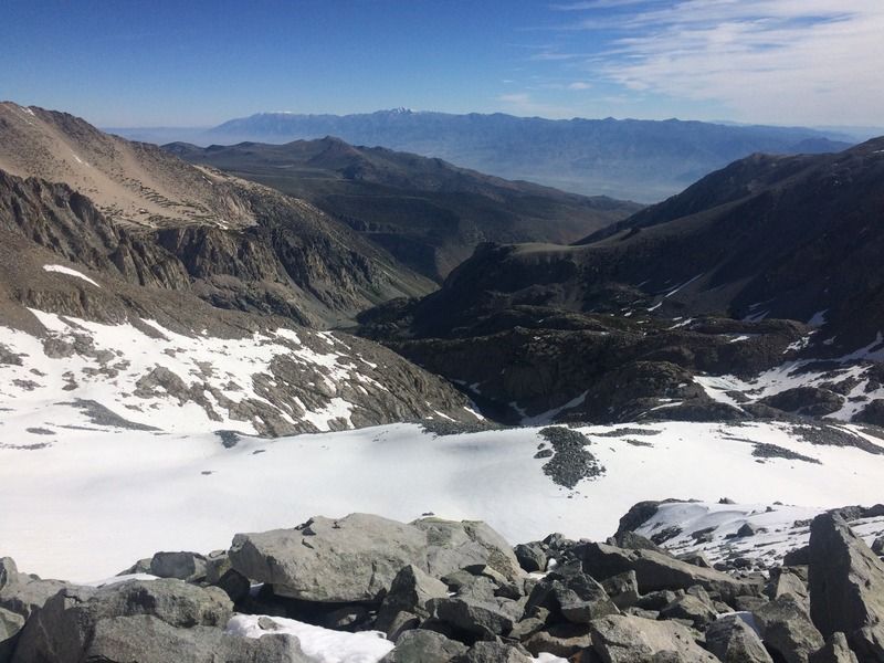
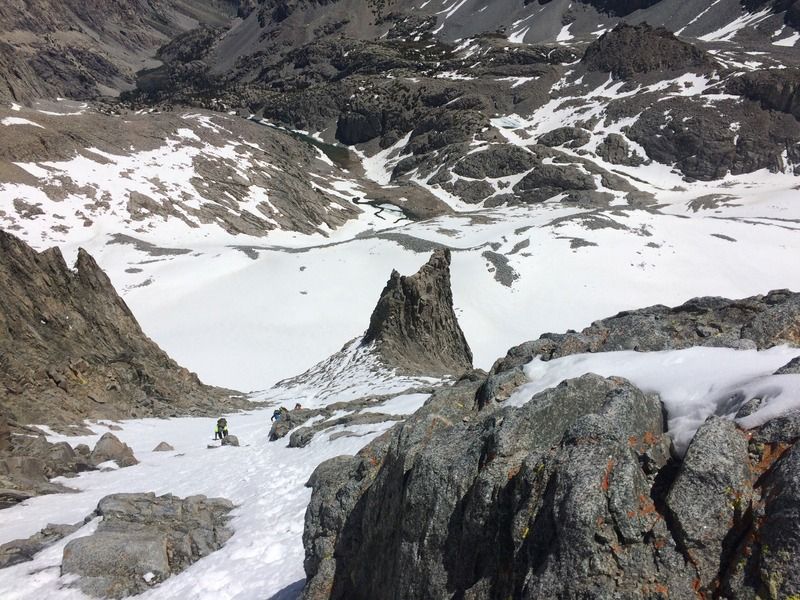
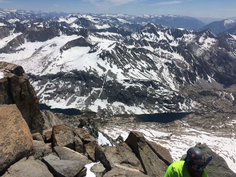
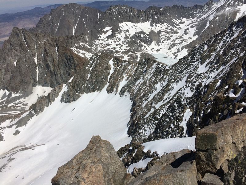
Looking down to Finger Lake and the south fork valley below
Chuck, Sarah, and Julian traversing the snowfield
Up the red rocks
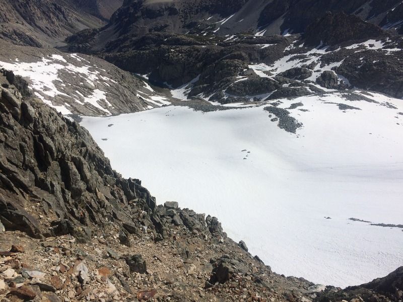
From the top of the red rocks, looking to the glacier below
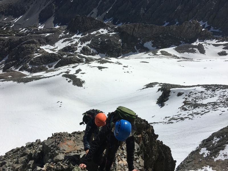
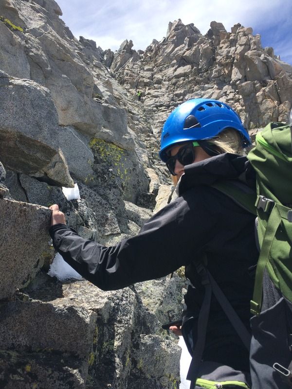
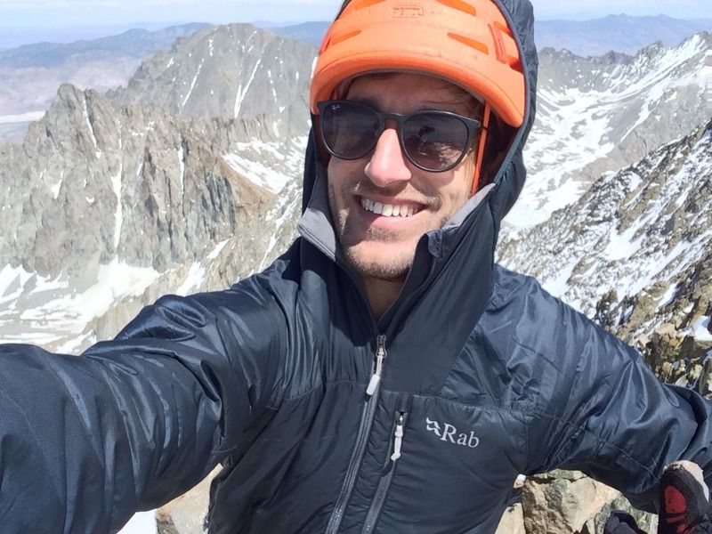
Me (orange helmet) and Sarah (blue helmet)
Goofballs
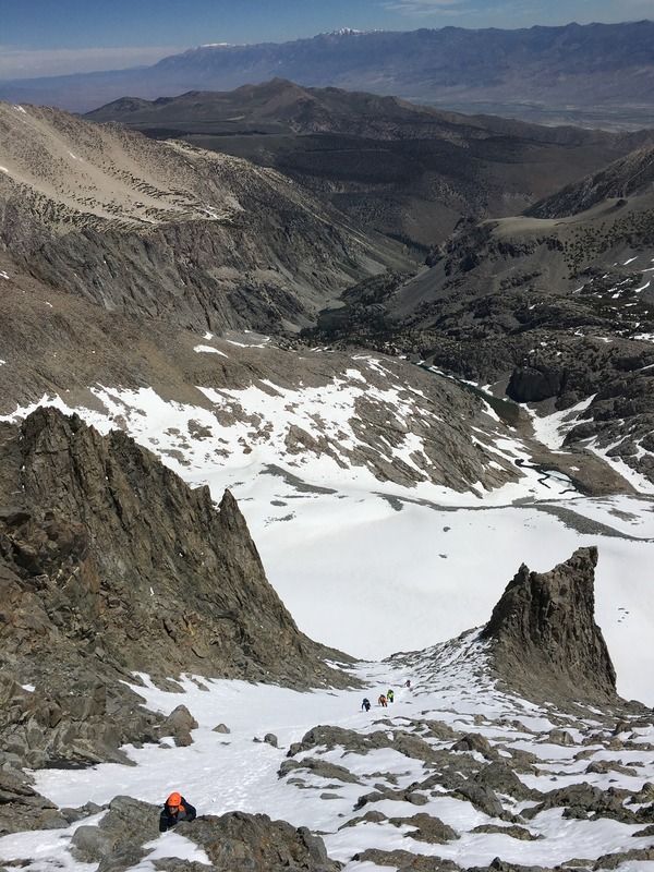
Me putting in the bootpack for the four below me
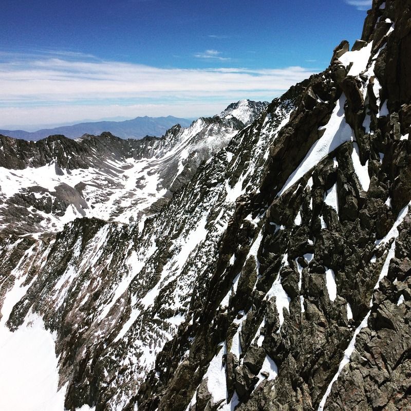
Looking east across the face to The Thumb
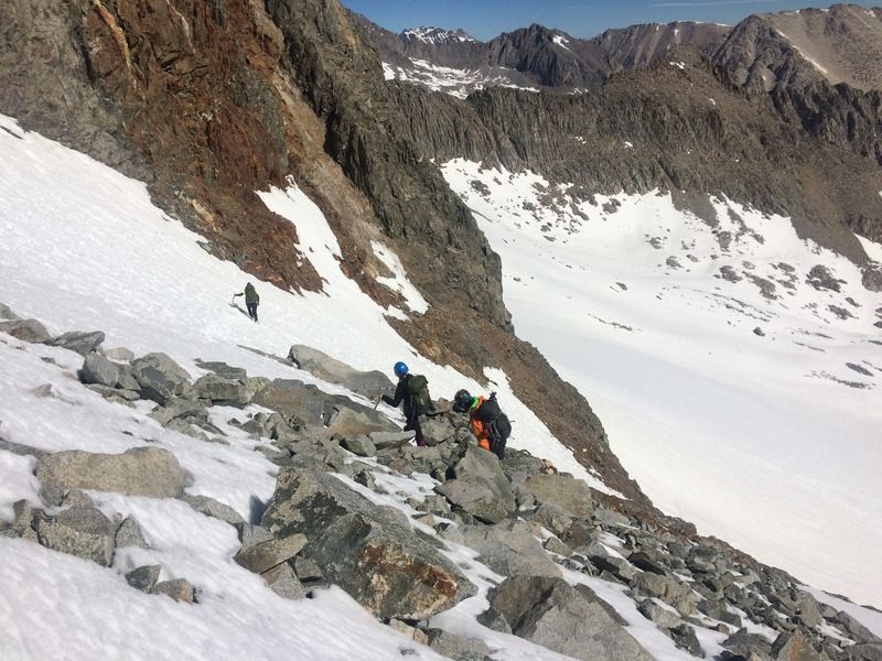
The four climbing up, we would descend to the dry side of the gendarme
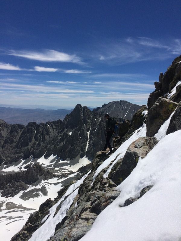
Nearing the top
Sarah on class 3
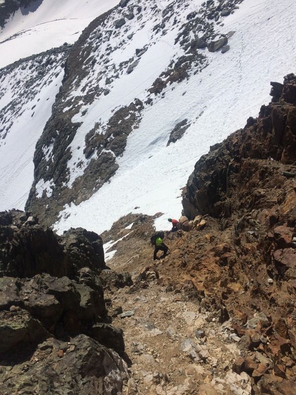
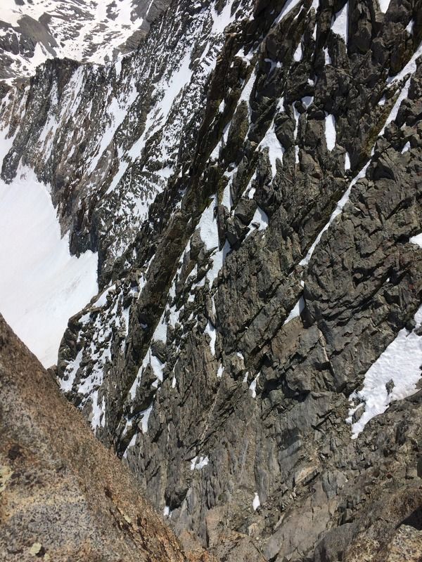
Looking down into the steep chute next to us
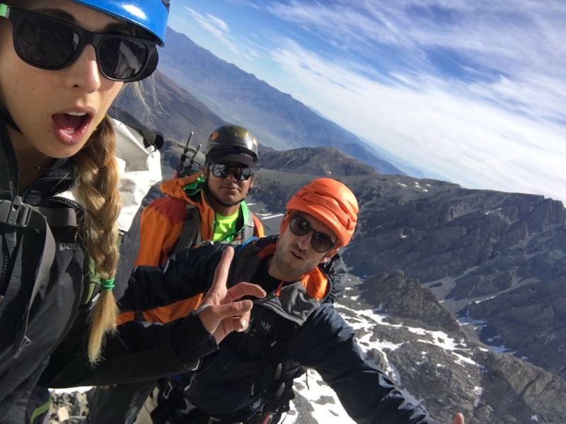
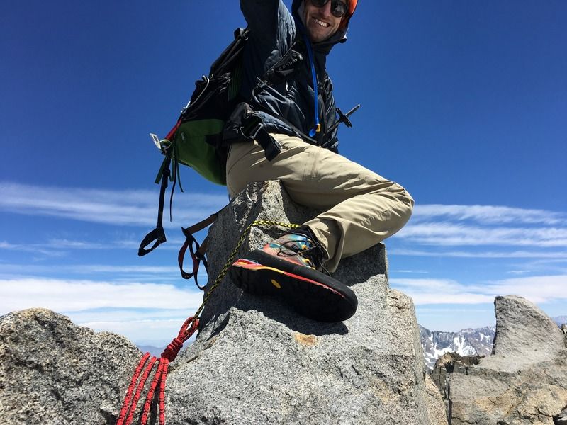
Sitting on the summit block
View west
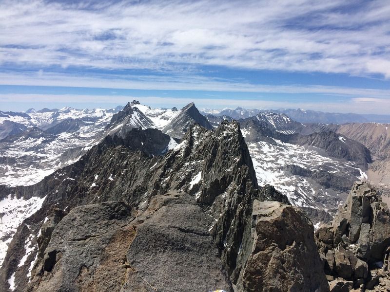
View north(?)
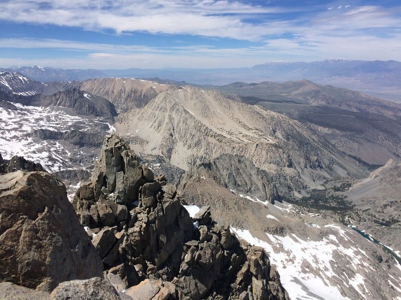
View south
East
Happy, food stuck in my teeth
South
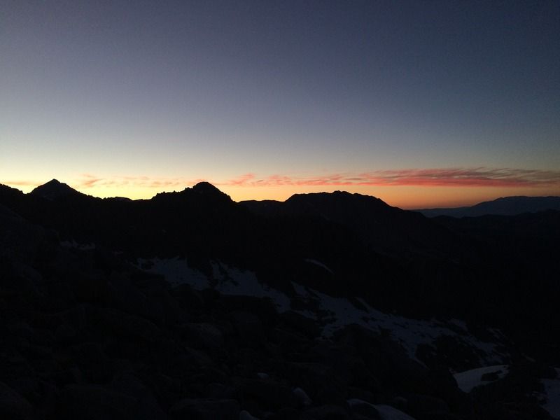
Moonrise
Filtered
Unfiltered

Sunset
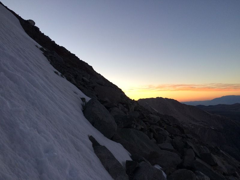
Sunset
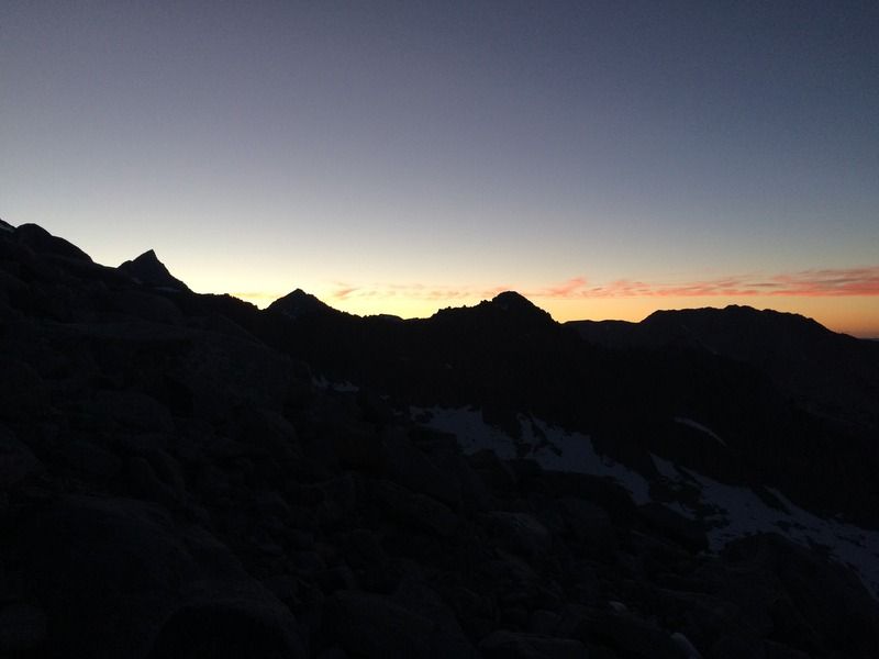
Last one