A little backstory on this trip, my friend hits me up beginning of spring and wants to hike Mt Whitney, I’m in just let me know when! Nobody else wanted to go. He gets in the lottery and is denied, then gets an overnight mid September, so ok you better start training in the summer. We then decide to ditch the overnight Whitney trip and go from onion valley up the backside of Whitney and exit cottonwood for a 4 day 3 night trip – 9/25-9/28
Summer rolls around my friend does some training hikes, I drag him up san gorgonio for an overnight cowboy camp on the summit for his first backpack, then we do the 7 summits of san jacinto as a day hike from fuller ridge and camped at the yellow post site the weekend before with some off trail and class 2-3 stuff.
Days before the trip someone suggest we go thru miter basin from trail crest over discovery pass and crabtree pass, sounds good to me but I’m concerned about my friend off trail over passes, we discuss it and research the route, ok lets do it. This was to be sort of a short cut and not go back down to guitar lake and around on the pct, I should have researched the miter basin a bit more, and my friend found a gps track he downloaded on his phone.
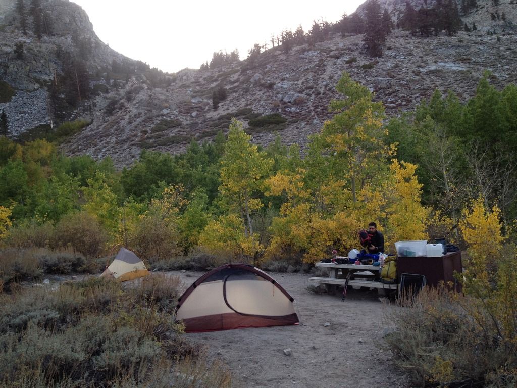
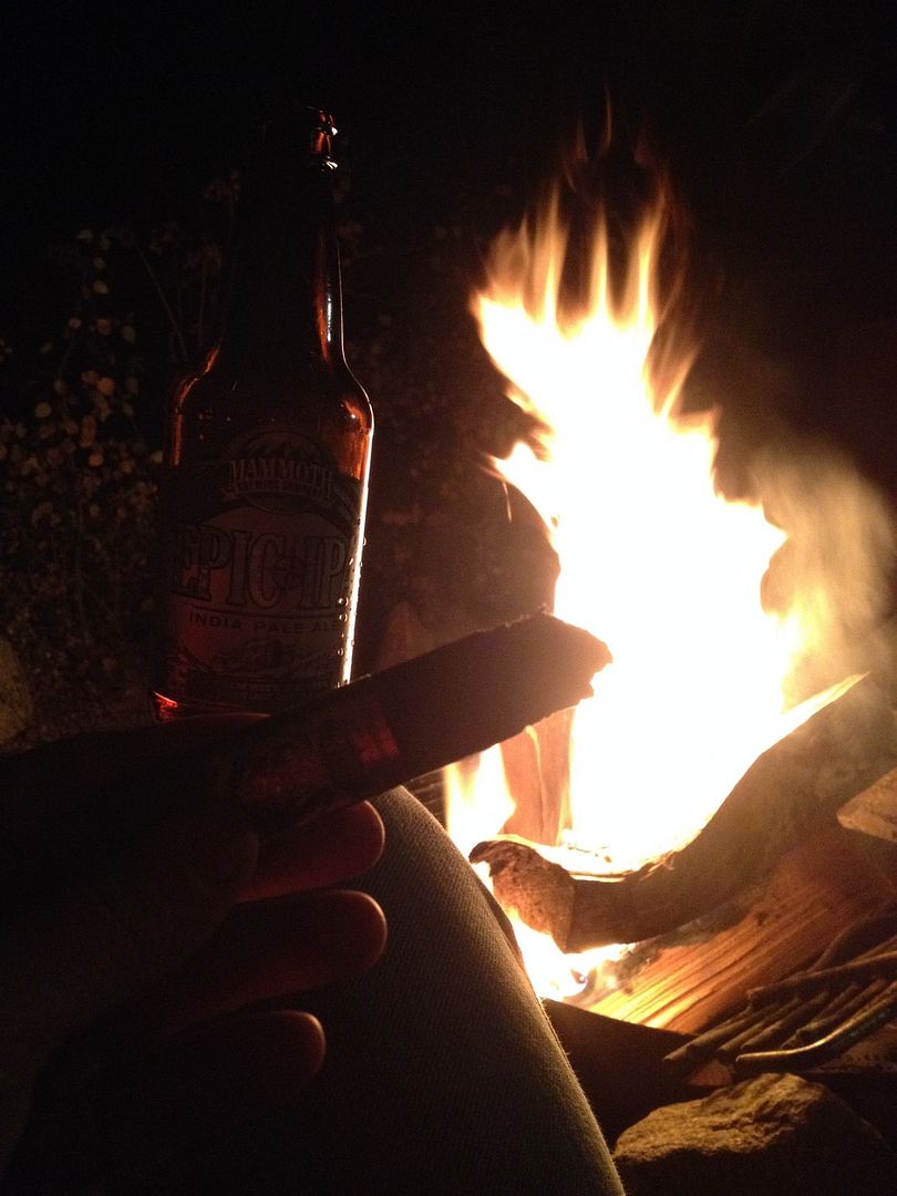
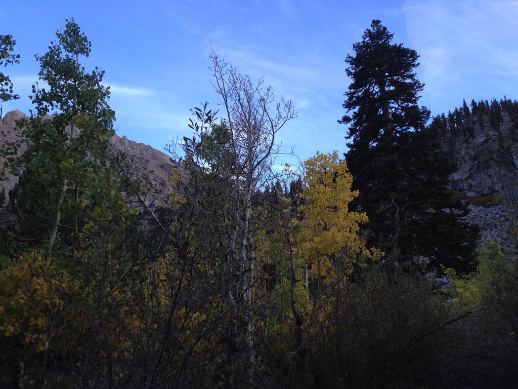
So 9/24 we drive up and drop a car at cottonwood lakes parking lot and drive over to onion valley campground where the aspens have started to turn colors, we make some carne asada, have a few mammoth beers and some cigars!
9/25 we hike up over kearsarge pass and met a couple doing the jmt who resupplied in onion valley and was on their way up too, we would see them the rest of the entire trip leap frogging and such. We hiked to just before forester pass up on the rocky plateau, the first lake you come too of the 3 up there and found a nice camp. Only saw a handful of other hikers going sb as well. I did the JMT 2 years ago in summer and HST last year also and there were so few hikes now in end of sept, it was great. Good to be back on the trail.
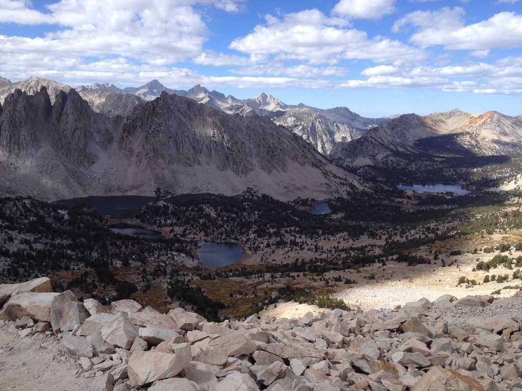

9/26 we hike up and over forester pass down to Tyndal creek, met 2 guys doing the jmt south bound, then turning around and doing the HST to west to crescent meadow, now that is cool! My friend was loving the high sierra, no problems with hiking or elevation. We were on our way to guitar lake, the last few miles were slow for him but we made it. Almost a full moon lit up the guitar lake basin, it was unreal. We decided to get up at 3am for a moonlight hike up to Whitney to catch the sunrise, which would turn out to be a very good decision the next day.
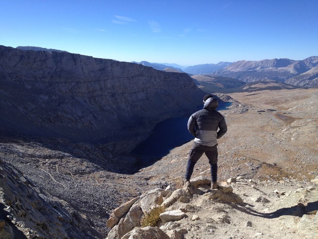


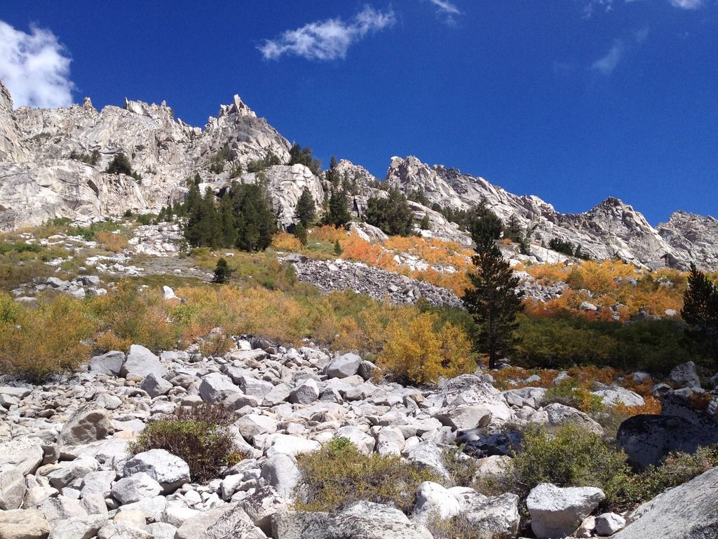
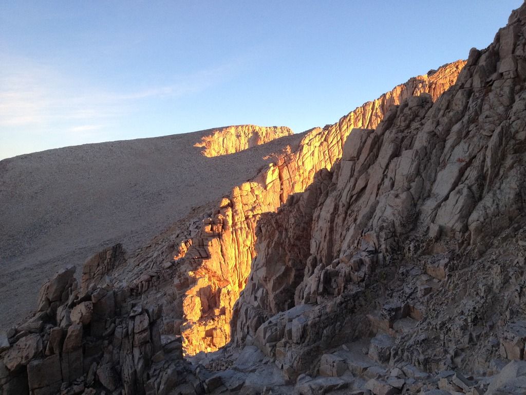
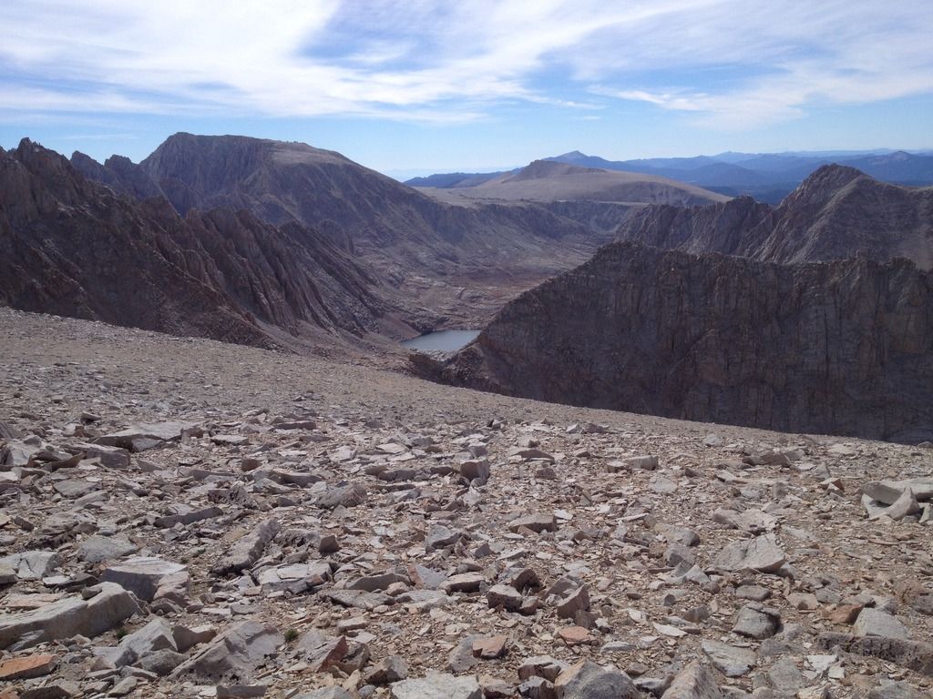
9/27 up at 3am, hiking at 4am we made our way up in the moonlight, barley needing a headlamp I had mine on low and he did not use one. We made it to trail crest by sunrise, my friend was just not quick enough at that elevations, but we got some good morning glow on the way to Whitney. We dropped our packs at trail crest. Up and down Whitney, this was my 4th summit in 3 years. On the way down we attempted Mount Muir, and got some of the way up and close but my friend decided it was too much for him, so we went back down. We then proceeded over discovery pinnacle and down discovery pass, heading west to avoid the cliffs, we picked our way thru the loose sand and rock coming out west of Crabtree lake.
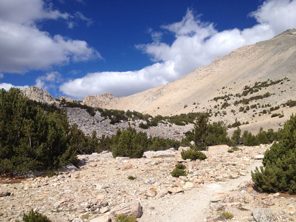
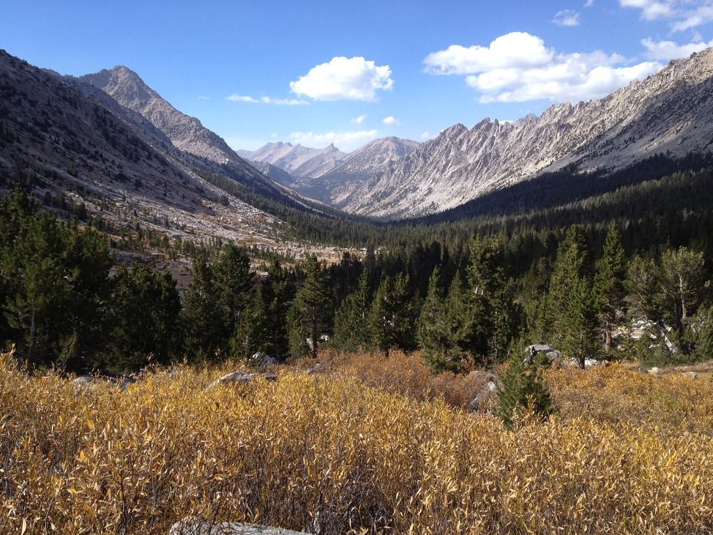
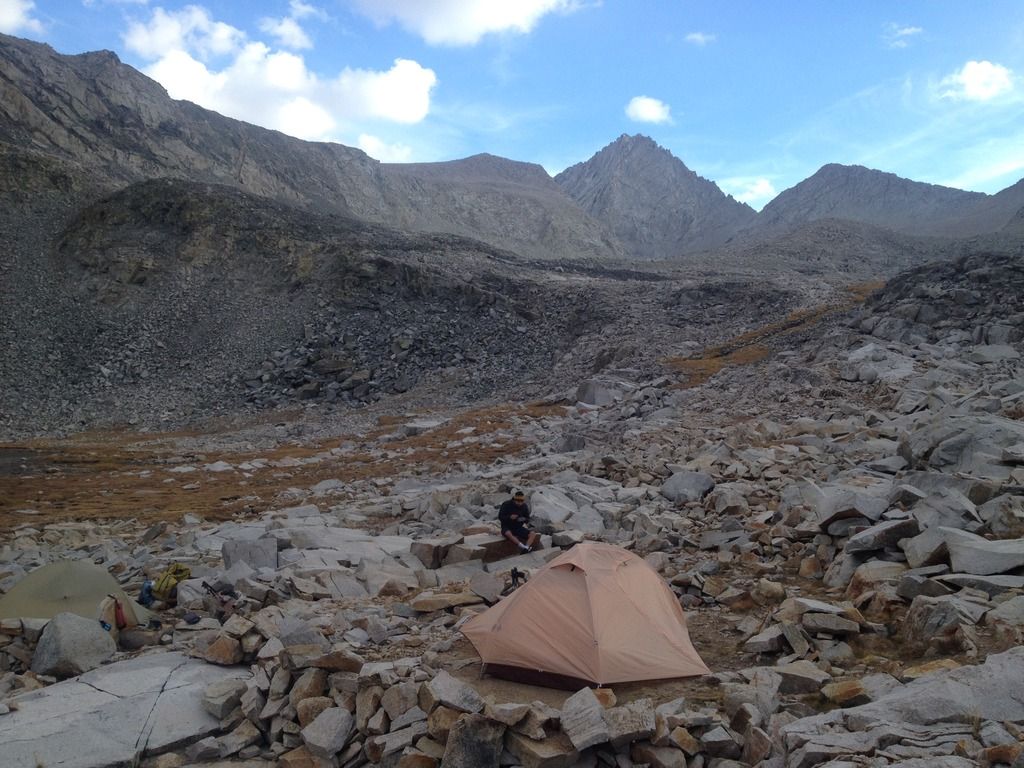
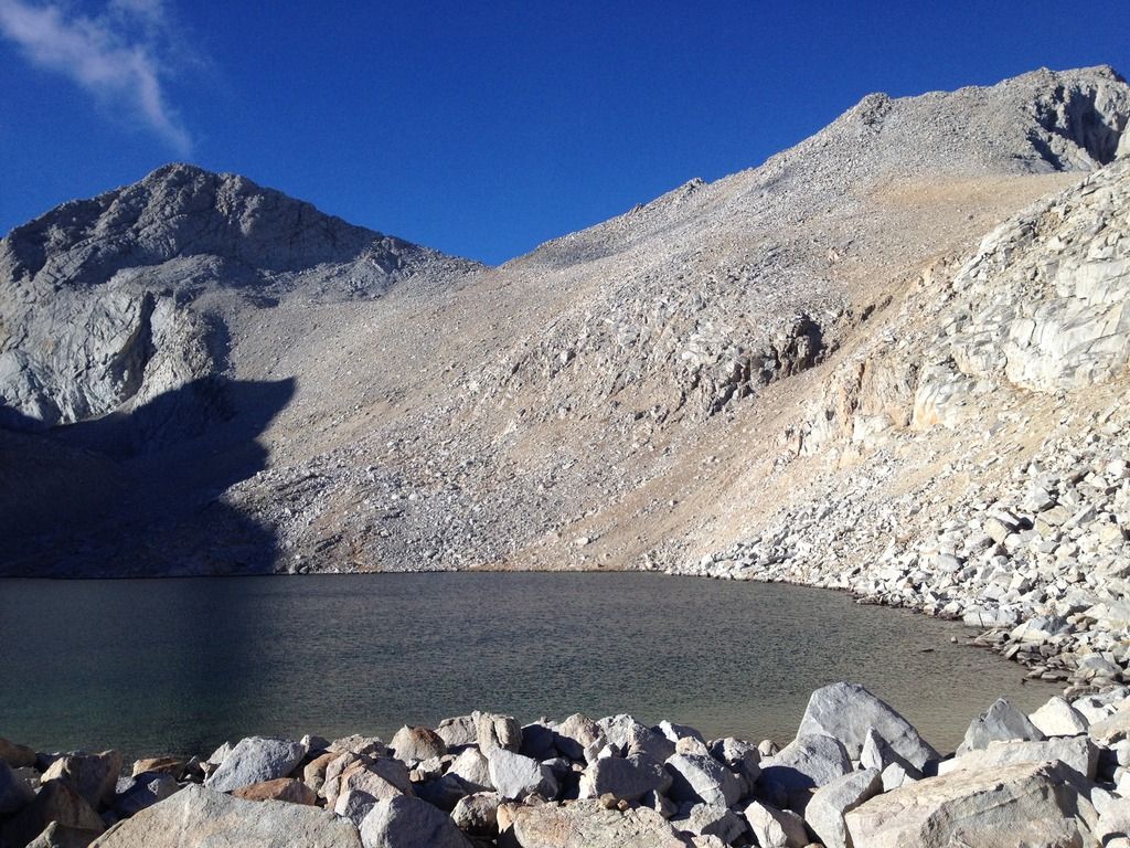
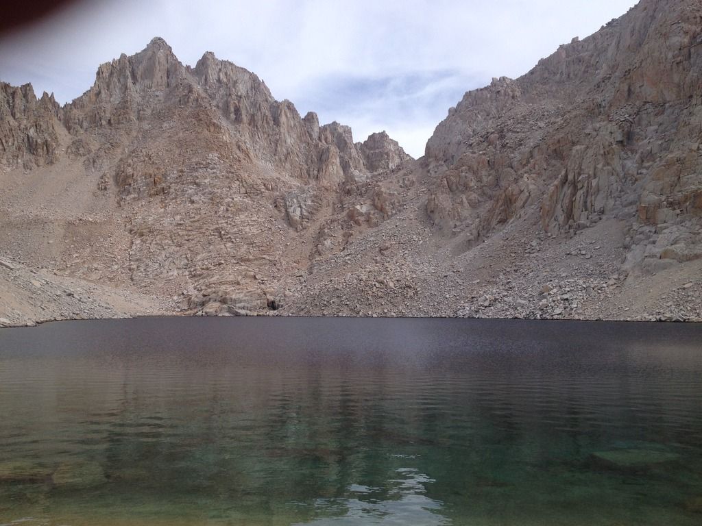
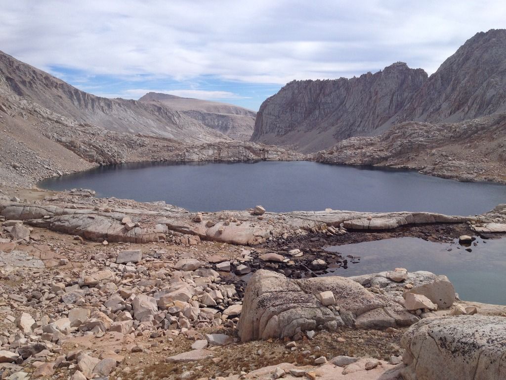
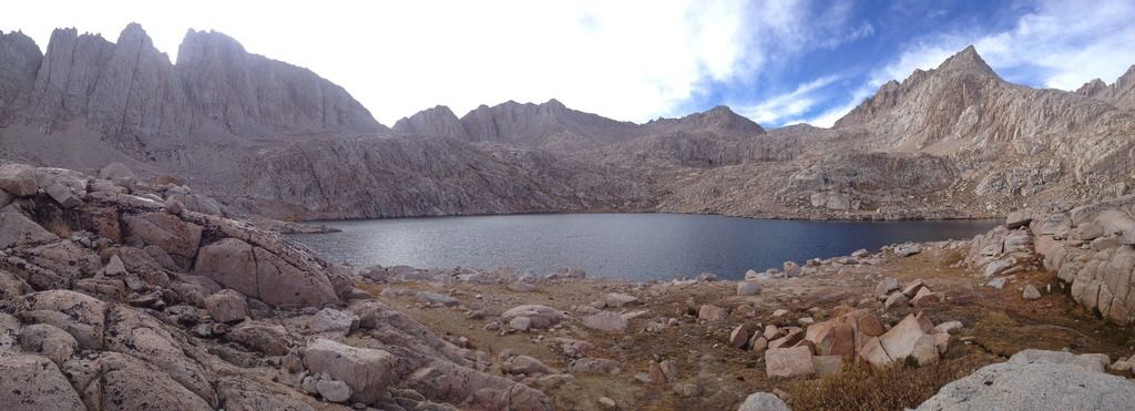
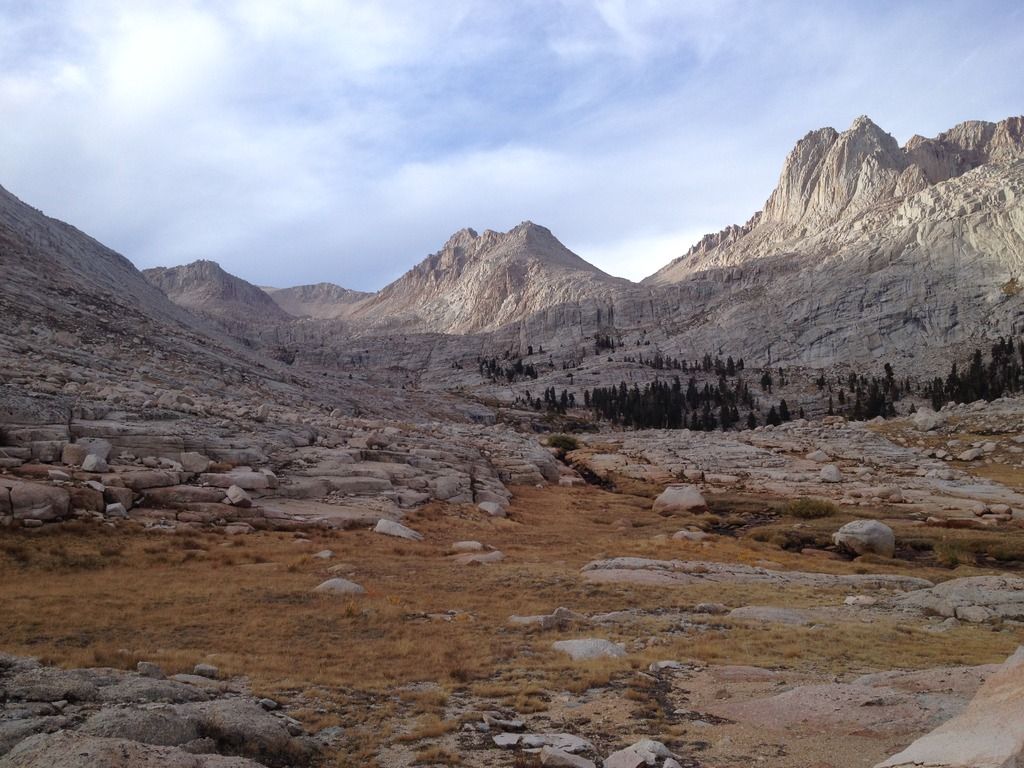
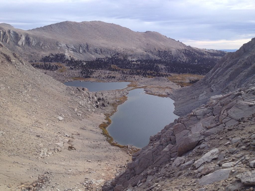
We took a break at Crabtree lake discussing our option going up Crabtree pass, my friend was a little intimidated by the tough looking class 2+ but we really didn’t have many options at this point since it was 1 pm and we were going to Soldier Lake. We made it up the pass no problem, and was a highlight for my buddy. Proceeding down Miter Basin the route finding was tough since I did not do enough research and the terrain is not as easy to see going down. We followed cairns which were hard to follow when we got to the first lake, but good thing we had the gps track. The hardest part was finding where to drop and a little climb down since it all sort of cliffed out. Once at the small tributary lake we followed the drainage down to Sky Blue Lake, and it was about 5pm by then. We were not sure if we were going to make to to Solider Lake, but decided to hike as far as we can. I was having feet trouble this trip, and I hike A LOT and never do, but I think it was my old socks lol. I ended up hiking in my crocs the rest of the way. We followed a very good use trail all the way thru the meadow to rock creek lake and came out on the trail just before Solider Lakes, but we camped at the small lake there in the meadow, it was 7pm and we were beat. Made some chili and crashed out at 8pm. I really enjoyed the miter basin so next year I am going to plan a trip through there and spend some more time there.
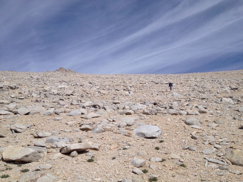

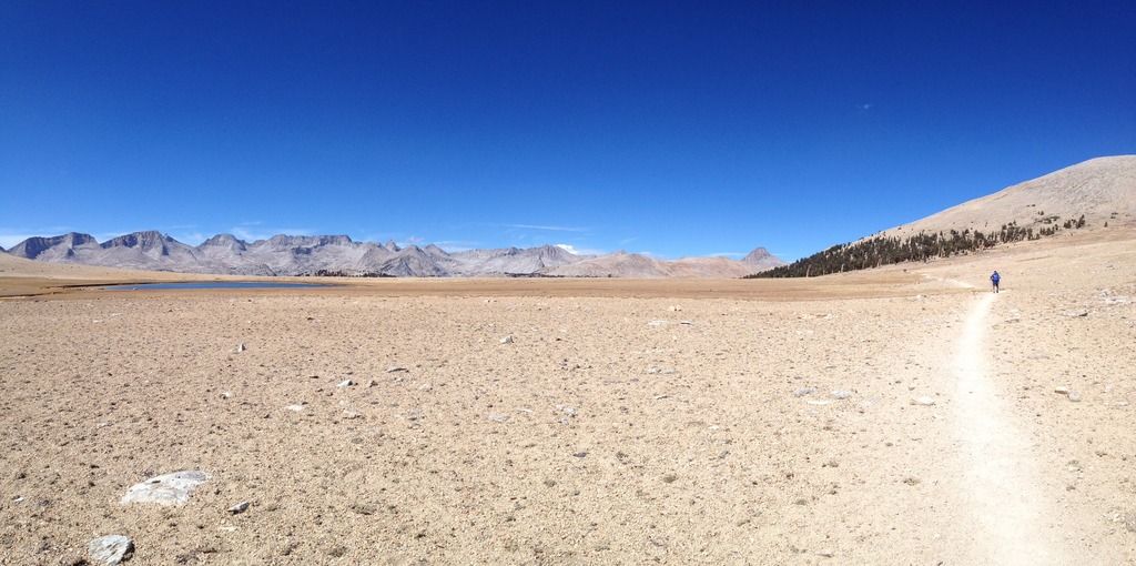
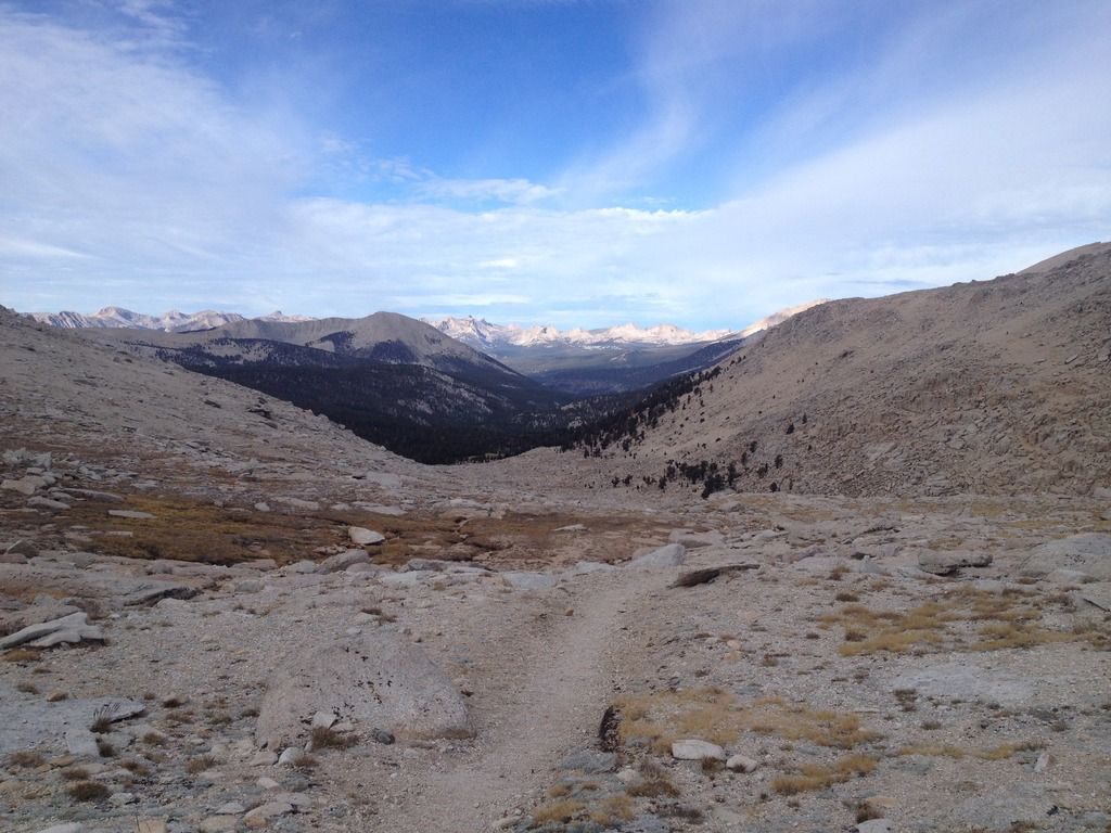
9/28 we were up at and hiking by 730 on our way out, we went up the trail toward new army pass, and saw what looked like smoke and a small fire way west by the kern river valley, I forgot to look into it though. We got up to the plateau and headed to old army pass to exit, thru cotton wood lakes to the trailhead and were out by 12:30. Went back to onion valley and saw the same couple we started with again doing the jmt who returned to get some stuff.
All in all this was a great trip with lots of miles and smiles, and tough off trail hiking. Cant wait for next year in the high sierra!

all my pics
http://s1262.photobucket.com/user/beantownr6/library/onion%20valley%20to%20cottonwood

