On Saturday, July 25, 2015 I "dayhiked" Mt Williamson via the North Fork of Bairs Creek route (NFBC). Temperatures were warm and the day was clear and sunny.
Online, I found very little info on the NFBC route; I used the following two sources:
http://www.sierradescents.com/skiing/williamson/2006/bairs-creek-cirque.phphttp://www.scaruffi.com/travel/williams.htmlI created a rough GPX of the route:
http://www.mappingsupport.com/p/gmap4.ph...on.gpx&t=t4I'm using meters because the USGS 7.5" topo is in meters.
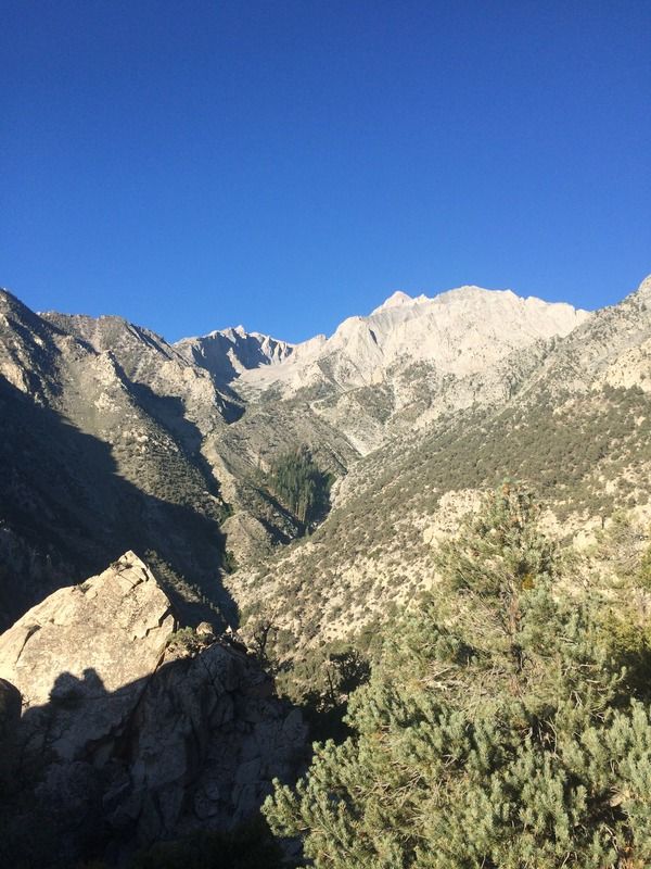
From the dirt road crossing the NFBC at 6000ft elevation, I hiked up the ridge north of the creek. I didn't take the usual route (I found it on the way down), got cliffed out around 7000ft and did a lot of class 3-4 scrambling, but managed to get over the ridge with the "7200ft notch." Game/use trails run along the contour line around 2400m (7200ft) until reaching the northern fork of the NFBC around 2180m. Never have I spent so long on a 14er below 8000ft.
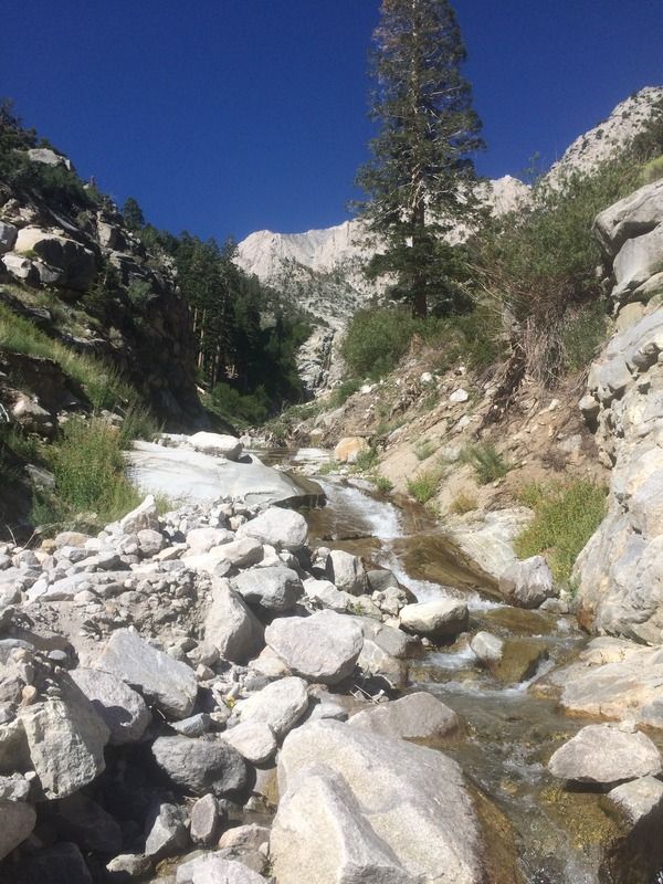
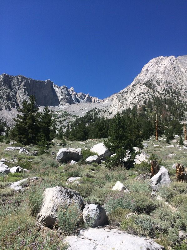
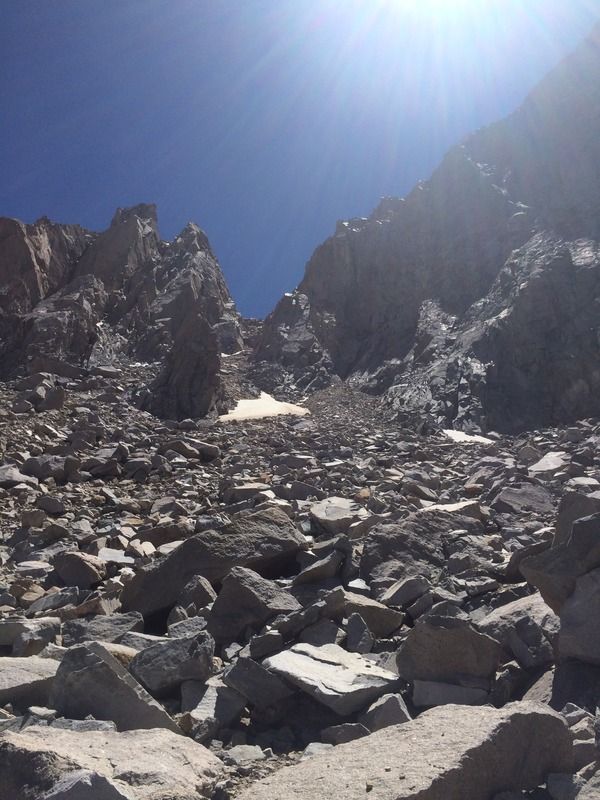
After crossing the creek, there is a nice ridge/ramp that ascends parallel to the creek for 500m to a fairly flat and quite pretty meadow. Another two hours of hiking brought me to the top of a steep section at 3360m and into the cirque. Two more hours boulder-hopping across the moraine and I reached the base of the east couloir. There's only a small patch of snow at the base, easily bypassed scrambling up the right side of the very loose chute. This opens up to a plateau at 4000m and amazing vistas to the interior of the Sierras and our highest peak to the south, Mt Whitney. Another hour and a half with some scrambling up the east face leads to a small east ridge and another 30 minutes up to the summit. I was feeling pretty good, especially after 12 hours of hiking uphill. I didn't stay very long as I wanted to get down the couloir while there was still light.
Now I was feeling fatigued and I didn't think of what I was going to do in the dark. I turned on a headlamp and crossed the moraine. Descending was slow with all the loose rocks, tired legs and feet, and darkness limiting visibility. The waxing gibbous lit the cirque for a bit, but wasn't too helpful. I navigated using my phone and aimed for the orange lights of what I think is Manzanar. I was getting very tired around midnight, so I decided I'd cowboy camp in the meadow, as I recall seeing a tent pad with a circular rock barrier for wind protection. Unfortunately, I didn't find it on the way down, so I cleared some small rocks away from the side of a large boulder and tried to take a nap. The air temp was fine, but I was cooling down from not moving and the light breeze combined with the cool ground was a bit too chilly for me. I brought out my emergency space blanket and tried to wrap myself like a sleeping bag, but it didn't do much good. I slept on-and-off for about two hours, but the cold was getting to me so I packed up and resumed my descent.
Going down the narrow ridge wasn't too bad, just a couple of falls in the loose terrain. I reached the area above the creek around 0440 and waited for the sky to light before attempting a bushwhack and creek crossing by taking a short nap. In 30 minutes the sky was light enough to see. After crossing the creek, the fun navi-game begins again: is this just a game trail or a people trail? Getting to that "7200ft notch" is quite a challenge (scrambling, route finding, loose ground) and the day was quickly heating up as the sun peeked out from behind the Inyo range. The descent down the final 400 meters was uneventful. I found where I lost the route and what the 7200ft notch actually looked like - I didn't see it at all going up, but I didn't look for it. There were multiple use/game trails on the ridge, but it's firm sand with minimal brush, so one can easily bee-line down. I made it back to my vehicle after 27.5 hours of hiking the most difficult route I've done yet. I didn't see a single person on the mountain, but a couple others had signed the summit register earlier in the day.
Timesheet:
0545: Start
0640: Lose route around 7200ft and do class 3-4 scrambling
0700: Reach ridge at 2280m (7480ft)
0803: Take break at 2260m for 15 min
0910: Creek crossing
0945: Gain ridge on the north side of NFBC
1055: Meadow at 2850m (9350ft)
1129: Take break at 2960m, refill water, 17 min
1300: Top out of steep at 3360m (11020ft)
1424: Nearing base of east couloir
1455: Base of couloir
1547: Top of couloir 3950m
1713: Summit plateau
1740: Summit!
1752: Depart summit
1828: Summit plateau
1936: Top of couloir
2025: Base of couloir
2035: 3680m (12070ft)
0100: Nap just below meadow for 2 hours
0300: Resume descent
0440: Ridge above creek, nap 30 minutes and wait for light
0530: Creek crossing
0915: Return to car
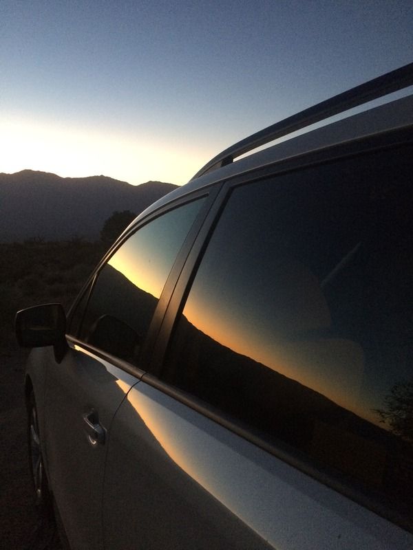
Sunrise reflection on the windows
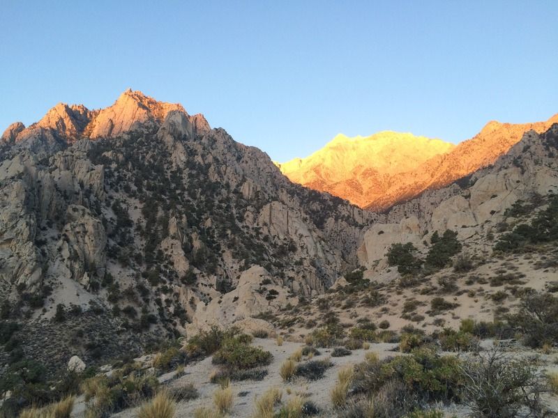
Alpenglow on Williamson
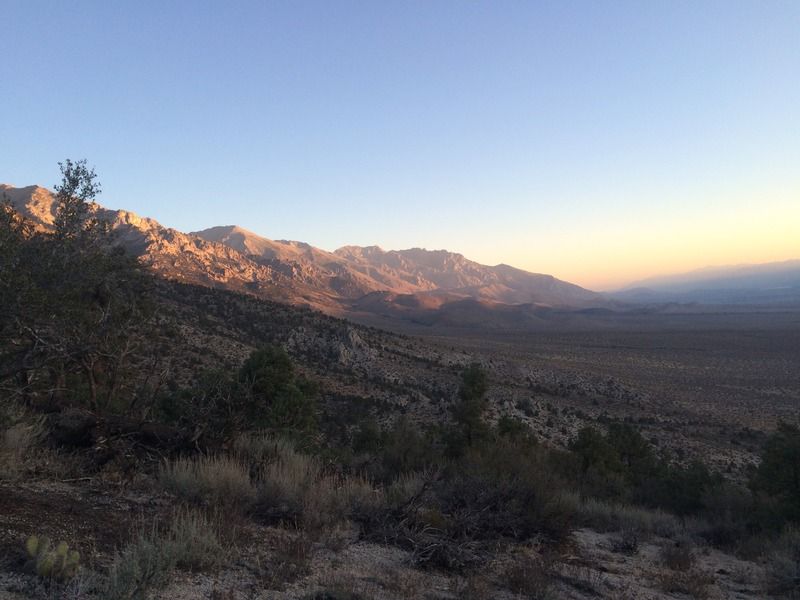
Sunrise looking north as I start up the ridge
View from ridgeline with the infamous 7200ft notch, visible is the narrow ridgeline to the cirque and the east couloir
Creek crossing
View of the cirque from the meadow
Entering the vast moraine field in the cirque

The loose couloir with minimal snow
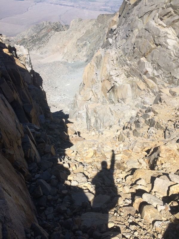
Looking down the couloir, raised fist of victory
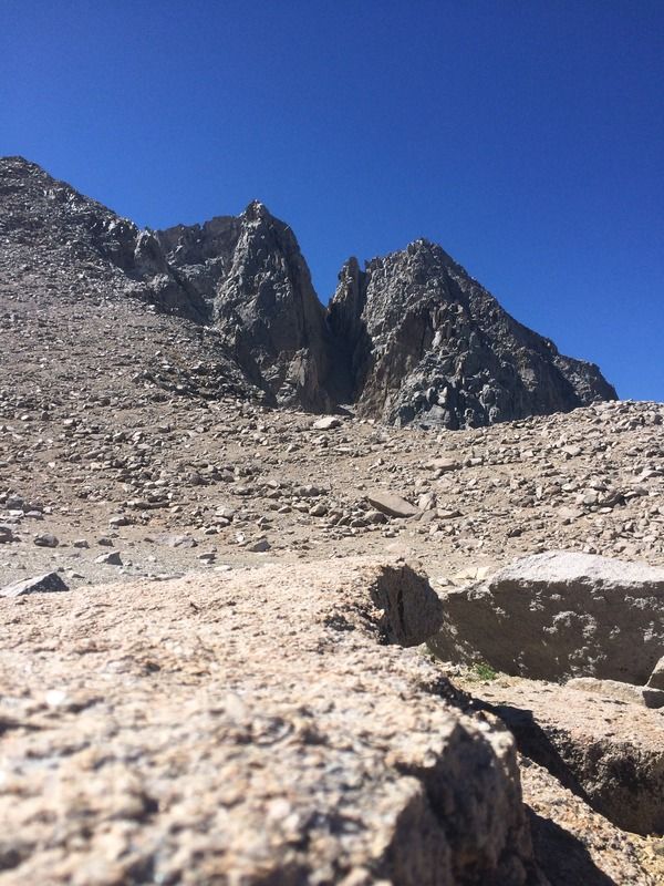
Looking north toward Williamson's north-eastern ridge
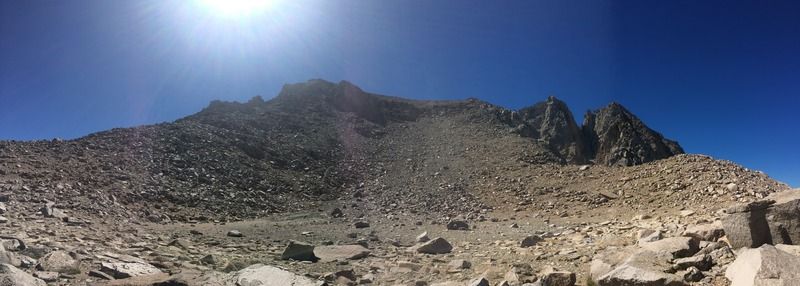
Pano of the south-east face from the top of the couloir
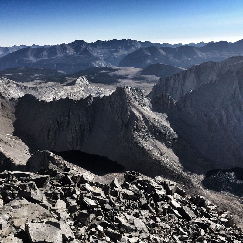
Halfway to the summit plateau, view south to Whitney
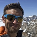
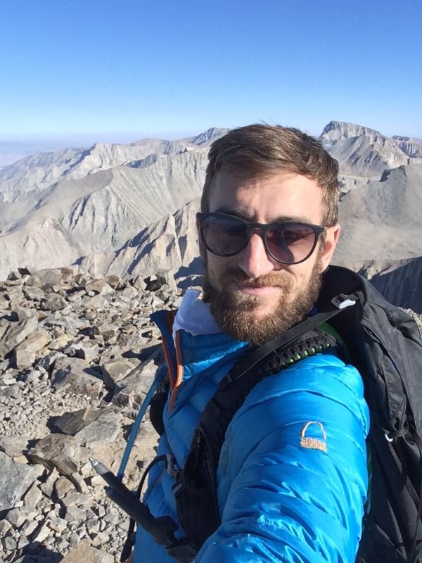
Summit selfie
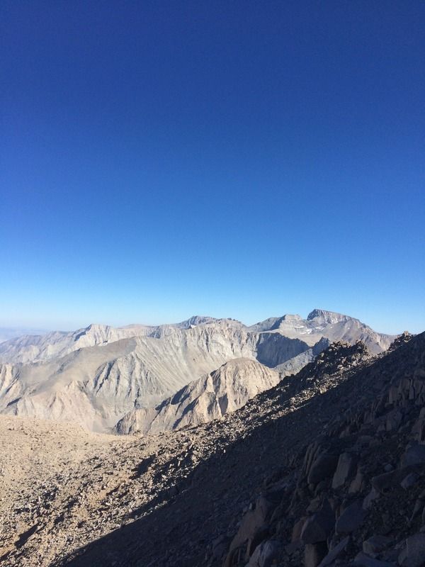
View east
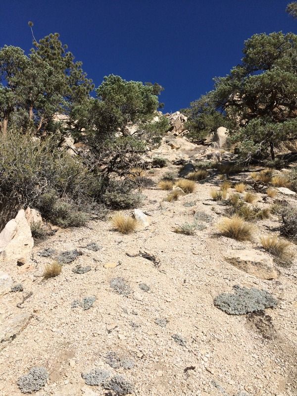
On the way down, I found the use trail for the 7200ft notch, this is looking straight up the ridge
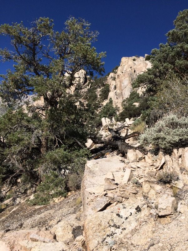
And if you turn to your left, the turnoff for the notch, very obvious in the background
Cheers!