On Saturday, June 20, 2015 I dayhiked Mt. Langley via the south-south fork of Tuttle Creek - basically following the Google Terrain route here:
http://www.mappingsupport.com/p/gmap4.php?ll=36.540565,-118.203022&z=14&t=t1. I diverged from this trail around 13300 ft where I followed the class 3 scramble as shown as a black dashed line on the USGS topo map.
Conditions were hot, clear, and dry. After departing the well-defined trail to the Ashram, I bushwhacked for an hour and only went about a quarter mile and 700 ft gain due to my poor route-finding and trail-recognition skills.
Finally getting back to the west side of the creek, there appeared no defined trail, however navigation is easy from this point on - it's just a long sand slog for the next few miles and 5000 ft of elevation gain.
I don't know an exact elevation, but there was no water in the creek once above 9000-10000 ft. There was a small snowfield along the route around 11500 ft, which I used to refill my reservoir both ascending and descending.
Langley comes into view only once you gain the ridgeline around 12000 ft., the top of its characteristic eastern couloir still holding some snow. As I gain elevation and more of the couloir comes into view, I am glad I chose the sand-slog - the couloir is mostly bare and the talus scramble would've been no fun (this couloir is 3 times the size of the chute on Whitney's Mountaineers Route, and that talus scramble is a pain).
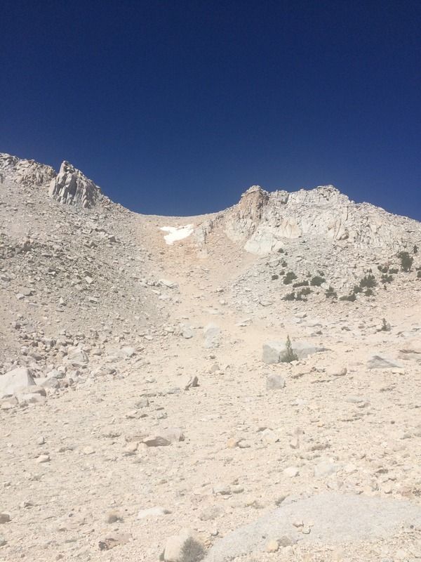
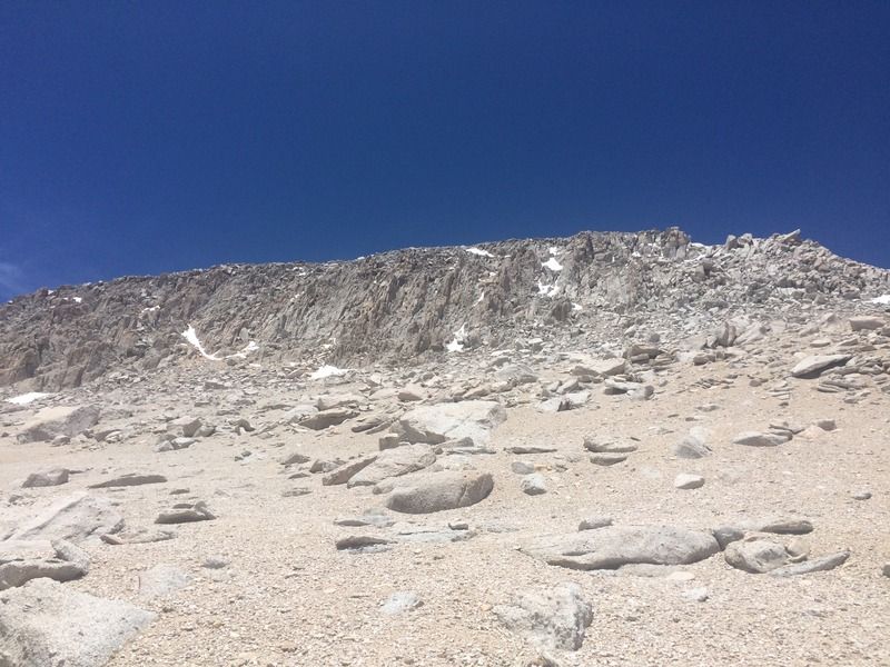
Hitting the Langley plateau around 13300 ft, an intimidating south face protects its summit. Ascending up the right side (USGS black dashed trail) proves to be easier (and more fun) than it looks, and the summit plateau is easily gained. There is no exposure or tricky climbing required. The only time I needed to traverse snow was at the top of the scramble, perhaps 20 yards of mushy snow.
A brand new register notebook was placed at the summit that very day, and 20+ people had already signed it - I assume all came from Cottonwood Lakes - I was the only hiker on the Tuttle Creek route. I hung out on the summit for almost an hour, talking with a couple who was also from San Diego, as well as a group of three guys.
After a careful 30 minute down-scramble, descending was incredibly fast - plunge steps down the sand! I again had to bushwhack for an hour to find the well-defined Ashram trail.
I made a detour to check out the Ashram before heading down to my vehicle at the trailhead.
Timesheet:
0543 - Start
0609 - Leave Ashram trail, bushwhack
0719 - Creek crossing around 8400 ft
0856 - 10000 ft plateau
0911 - 10400 ft plateau
1015 - 11500 ft snowbank, refill reservoir with snow
1100 - Gain the ridgeline around 12000 ft and Langley finally comes into view
1249 - Reach saddle at 13200 ft
1400 - Summit! (8h17m ascent time, ~7100 ft gain)
1452 - Depart summit
1522 - Saddle at 13200 ft
1640 - Top of gully around 12000 ft
1655 - 11500 ft snowbank, refill reservoir with snow
1710 - 11000 ft plateau
1725 - 10400 ft plateau
1730 - 10000 ft plateau, bushwack
1852 - Meet Ashram trail, visit ashram
1921 - Finish! (4h29m descent time)
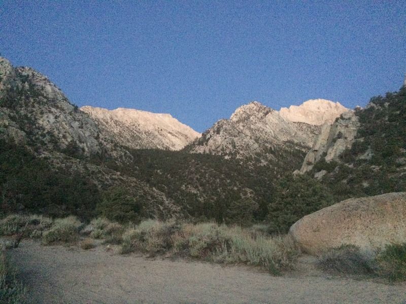
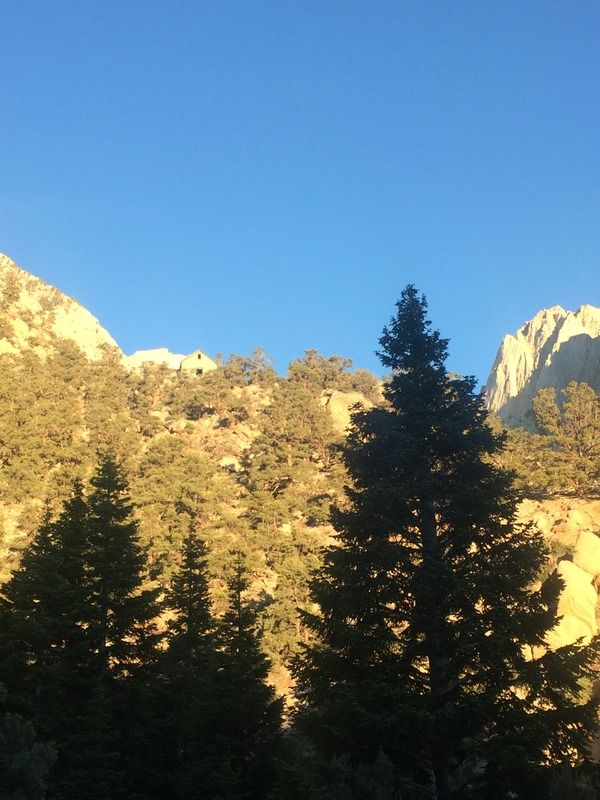
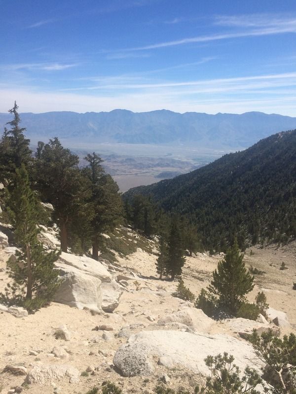
Looking up the Tuttle Creek drainage in the morning
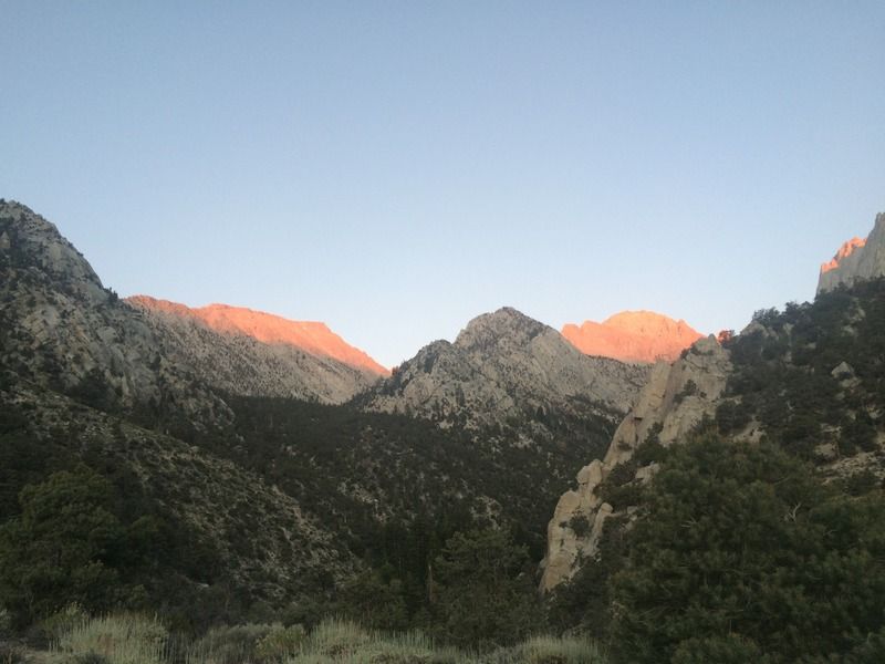
A few minutes later with alpenglow
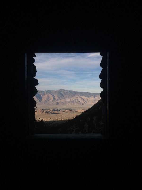
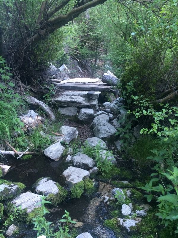
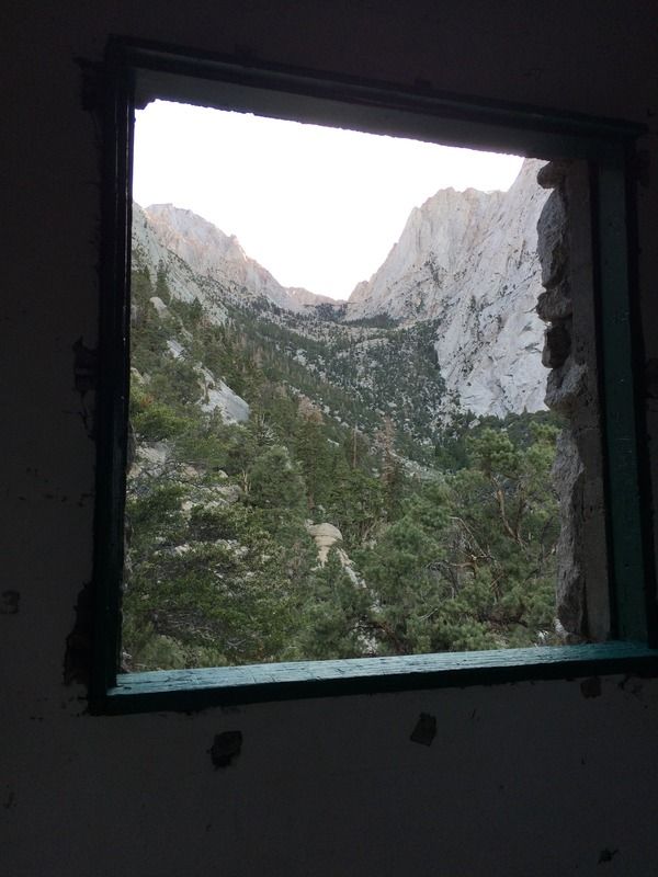
The Ashram
Creek crossing where the Ashram trail turns and heads north and one departs for Langley
Bushwhacking creek crossing around 8400 ft
10000 ft plateau, looking up
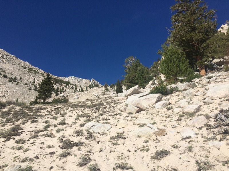
10400 ft plateau, looking down
Small snowbank at 11500 ft
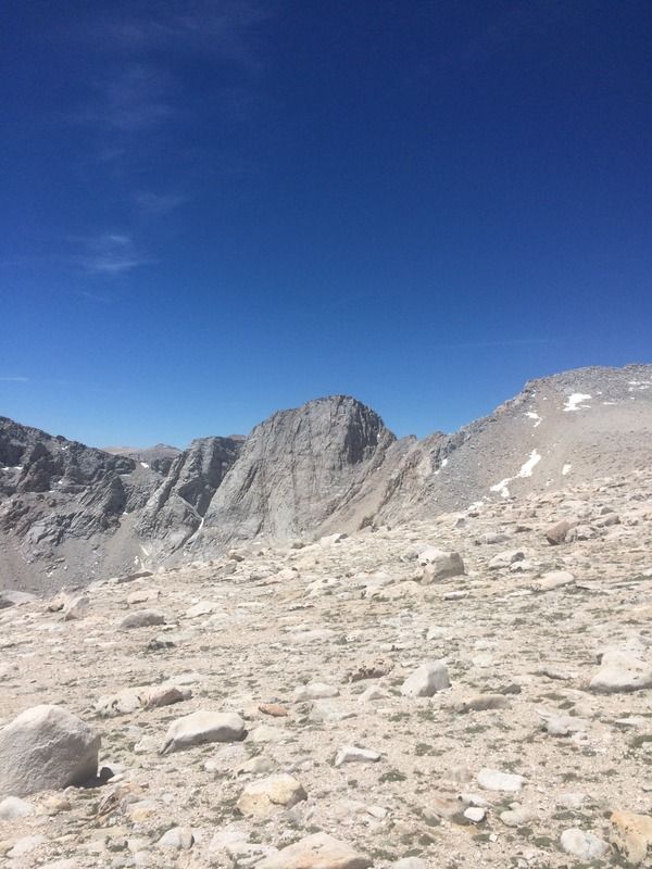
Langley finally comes into view, rightmost peak, with snow in the notch at the top of the couloir. The left peak is peak 3915 and the middle peak is unmarked.
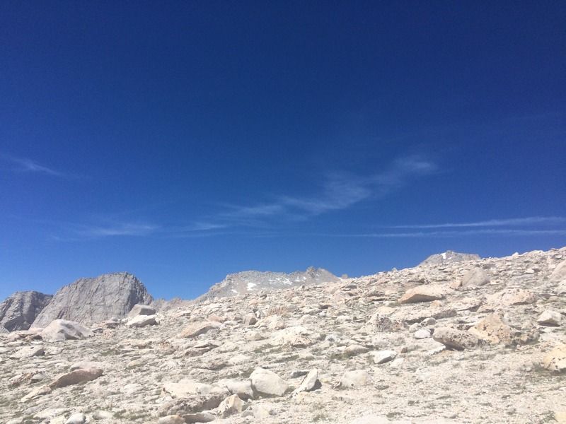
15 minutes later, the saddle and more of Langley appear
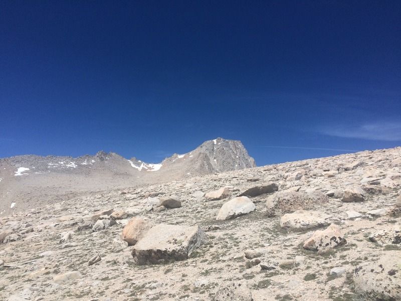
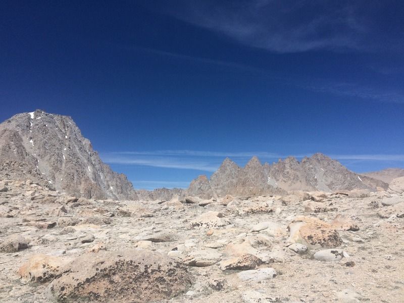
Another view of peak 3915 - looks like amazing rock climbing
Another 15 minutes, view northwest to Langley, Corcoran, Le Conte, and the unnamed spires around them
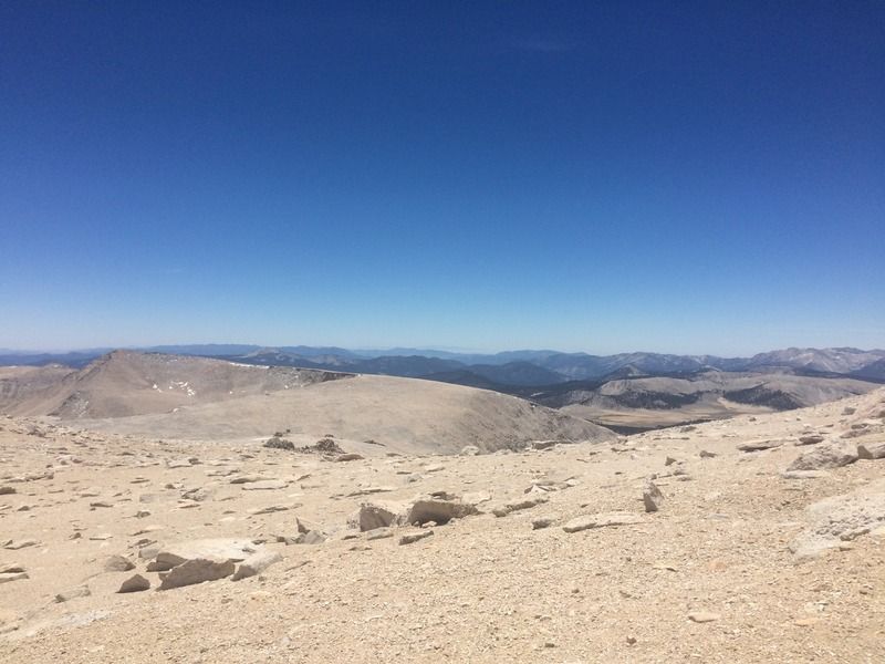
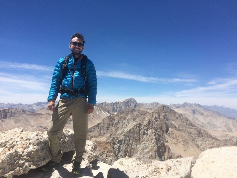
Facing south on the Langley plateau
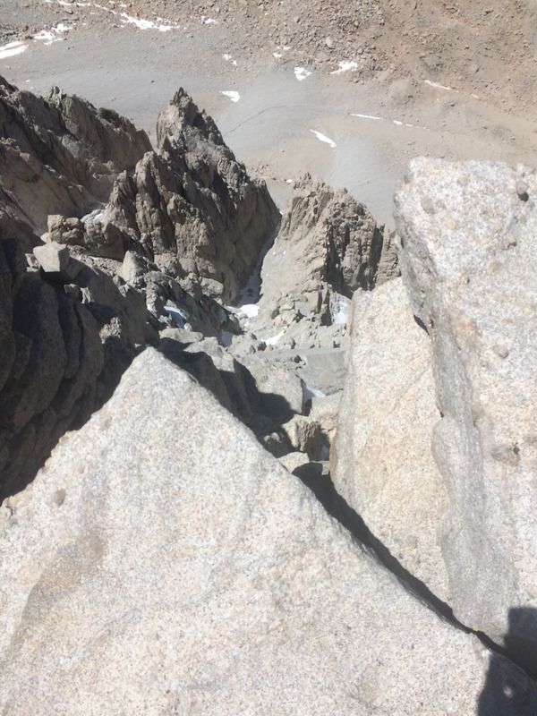
The south face scramble
Cottonwood Lakes
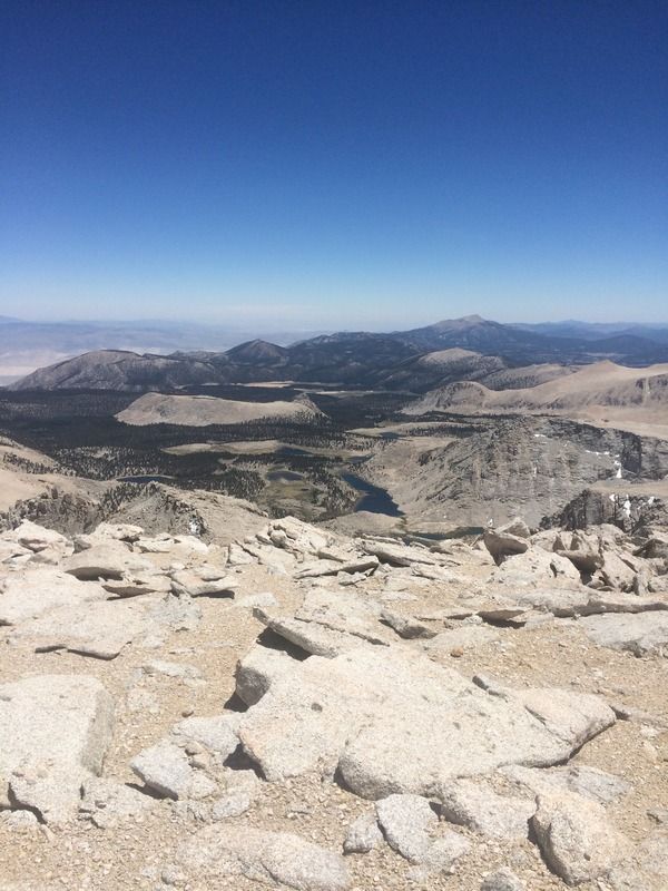
View down a chute on Langley's NE face, showing the entire Tuttle Creek reaching into the Ownens Valley floor
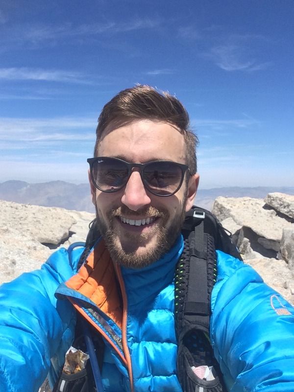
Summit smile
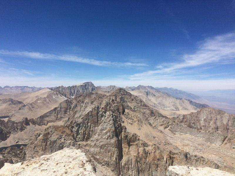
View north toward Muir and Whitney
Looking north to peak 4151, Whitney in the background left, not sure of the peaks in the background right
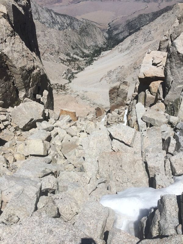
2300 ft straight down the north face
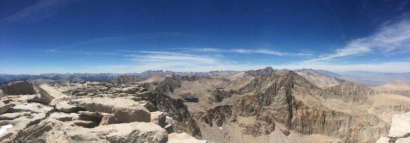
Panorama, Sky Blue Lake in the center, Whitney is the tallest peak
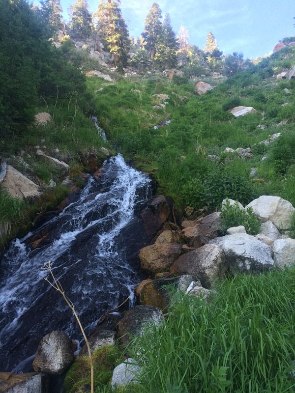
View west from the Ashram
View east from the Ashram