Mt. Whitney Mountaineer's Route
March 25, 2016
On Friday, March 25, 2016, my hiking partner SarahD and I summitted 14505' Mt. Whitney via the Mountaineer's Route.
We gathered our gear and packed our bags in Lone Pine, then drove up to the portal on Thursday night. We slept for about 1.5 hours, woke up at midnight, had a bite to eat, and set off at 1 AM.
I brought skis to make a quick descent of the chute and slopes below.
The weather over the prior weeks leading up to the hike was fantastic, warm days and cold nights set up a well-consolidated snowpack. There was minor snowfall that Monday but it was trivial and didn't impact conditions. The weather was surprisingly warm at the Portal and would stay nice and warm (for early spring) all day.
We breezed up the main trail to the turnoff of the North Fork of Lone Pine Creek. Rather than stick to the well-established trail, we followed tracks in the snow and did a lot of bushwhacking. It was a huge pain with skis strapped to my bag and I don't recommend it. The trail is faster. The e-ledges were totally dry and easy to navigate on the ascent.
The hike to LBSL and UBSL went smooth and steadily, and we watched the sun rise from the slabs above Clyde Meadow.
We slowed here as my partner expressed some hesitation on the steep snow ramps leading to Iceberg Lake. After some positive encouragement, we made it up and took a rest on the rocks at the bottom of the chute. The snow was quickly softening in the sun, and I was getting stoked on skiing down the chute. There was a party of two about halfway up the chute. The ascent was long and we took our time. At the notch, we continued up the final 400, which was mostly snow with a rockband near the bottom. I climbed the rockband, made an anchor, and belayed Sarah up this section.
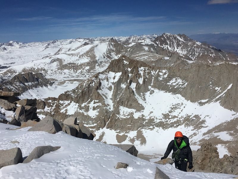
The pair ahead of us was now descending this section, so we chatted for a bit. The remainder of the route was snow; we stayed unroped and I followed closely behind Sarah. An easy scramble over a couple boulders led us to the summit plateau. The four of us were the only people to summit that day. It was sunny and clear, with only a mild wind to remind us of the cold. I felt great up here - no AMS symptoms. I was peakbagging the highest volcanos in Mexico last month (report here:
http://sierraascents.tumblr.com/post/141914350444/peakbagging-in-mexico, 200 photos are on my facebook) and my body seems to have learned how to acclimate quickly.
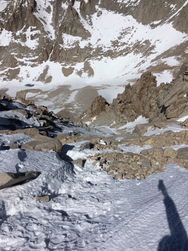
We didn't stay on the summit very long - it was almost 2 PM and I wanted to get down the chute before it firmed up. Sarah wanted the security of a rope for the descent down the final 400, so I belayed her with a very fast and efficient system: an ice axe anchor with a Munter hitch on a carabiner clipped to the head. This allowed me to feed rope quickly as she moved down the slope. She was off belay as soon as I had the end of the 16 meter rope, then I hiked down to her, and we repeated the process: drive the ice axe spike in deep, coil the the rope, belay. We probably did 5 or 6 of these very short pitches.
By the time we reached the notch, though, the chute was completely in the shade and the snow had firmed up. Sarah continued down, I ripped my skins (which I didn't even use on the ascent) and clipped into my skis. This was not at all a fun descent. I simply side-slipped the icy chute all the way to the bottom. We regathered, I put my skis back on my bag, and we slowly continued down the mountain. We were feeling the effects of our lack of sleep - our pace was slow and we took many breaks. But our spirits were high.
We made a silly navigational decision above the steeper slopes above Clyde Meadow and wasted time on some icy slabs before returning to the trail. We continued passed LBSL to the E-ledges, where we got confused and wasted almost an hour trying to figure out how to get down. Sarah didn't seem to remember certain sections and I thought some of the downclimbs seemed too big to be the actual route. Finally, I tried one of the downclimbs, which turned out to be easier than it looked, and we were back on track. We both felt like idiots and joked about it for the remainder of the hike. The rest of the descent was straightforward, we just followed the many footprints in the snow. This time, though, we avoided the bushwhacking and did the standard two creek crossings. The last mile took forever, but finally around 1140 PM we were back at our vehicles. After a high five and a tired hug, Sarah drove to a hotel in Lone Pine and I promptly passed out at the Portal in the back of my Forester.
Mt Whitney Timesheet
0101 Start
0119 Carillon Creek
0127 NFLP Cree
0237 E-Ledges
0400 LBSL
0608 UBSL
0857 Iceberg Lake
0918 Bottom of chute
1343 Summit!
2340 Finish
Thank you so much, Sarah, for all the photos and a great day in the mountains!
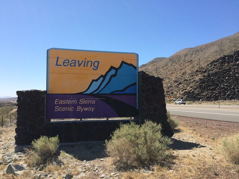
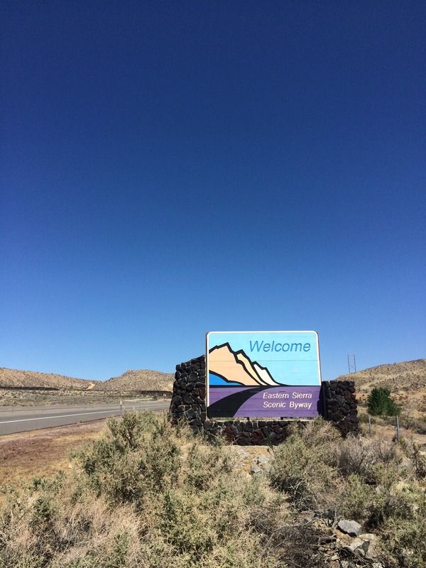
This sign always foreshadows fun: adventure awaits!
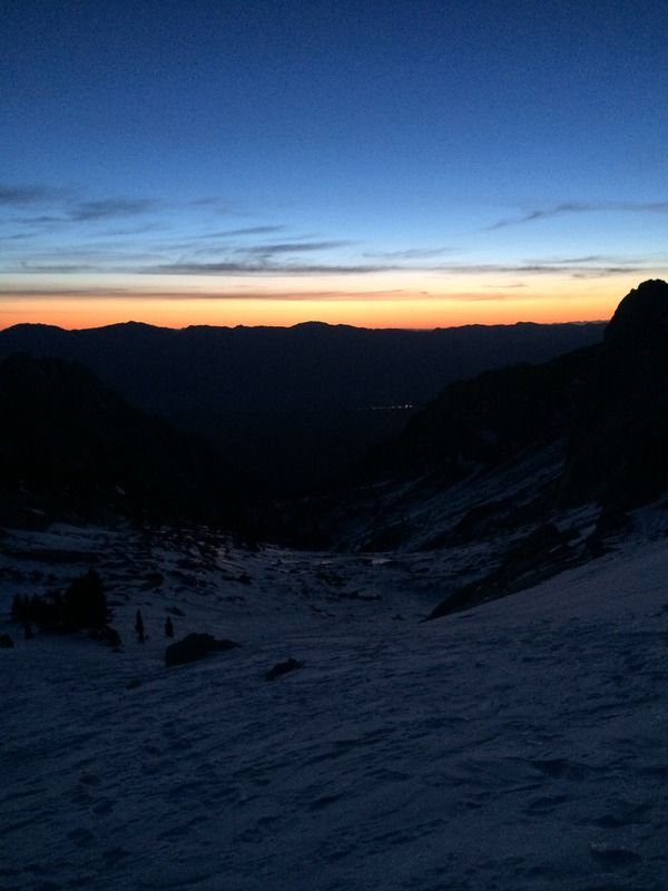
The lights of Lone Pine just before sunrise
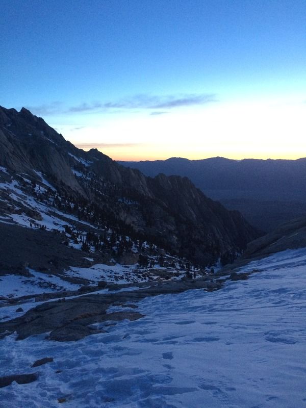
Sunrise from above Clyde Meadow
Hello sun
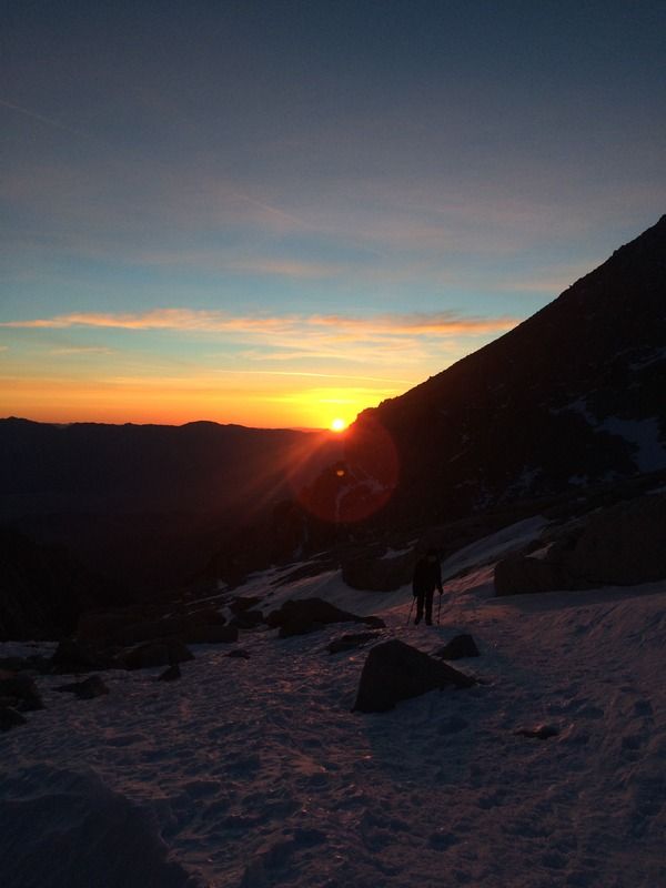
We witnessed an amazing morning show
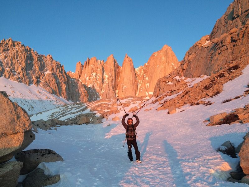
On the move to Iceberg Lake
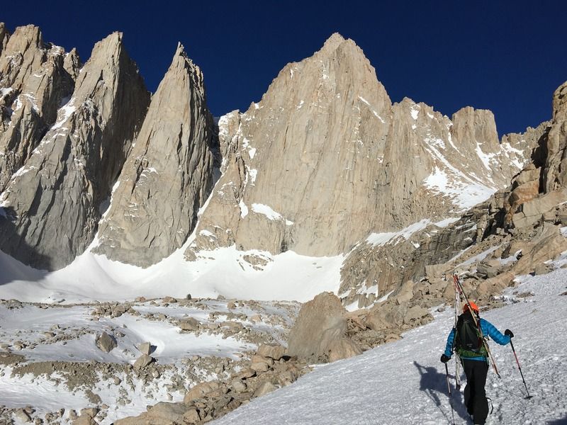
Getting close to the slopes below Iceberg Lake
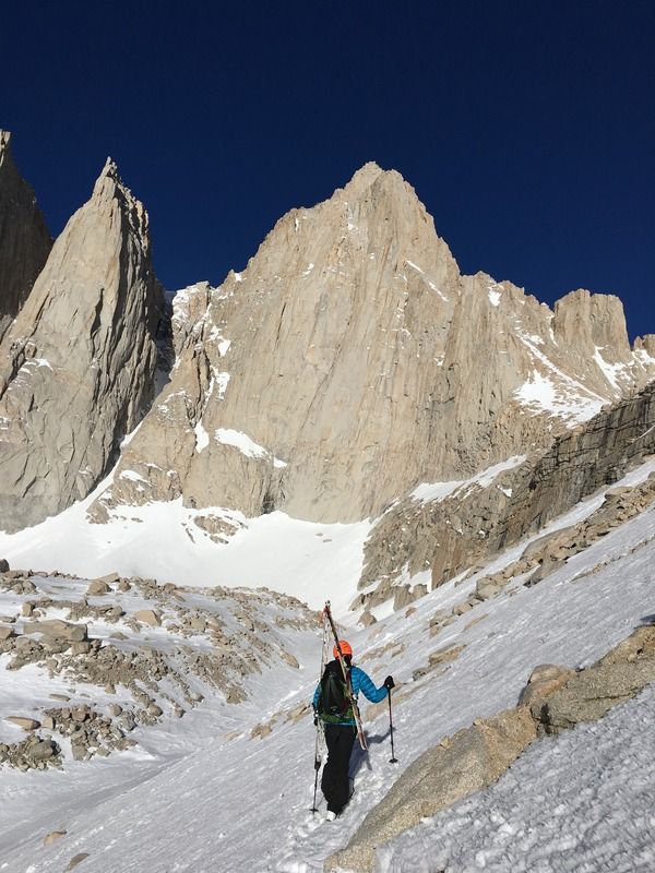
On the slope to Iceberg Lake
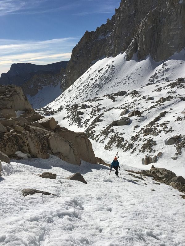
At the top of the slope leading to Iceberg Lake
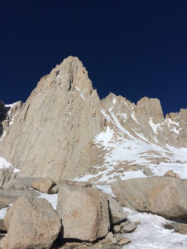
To the chute
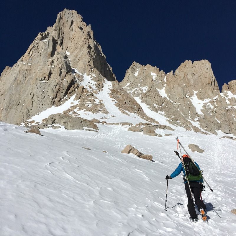
Looking up the chute
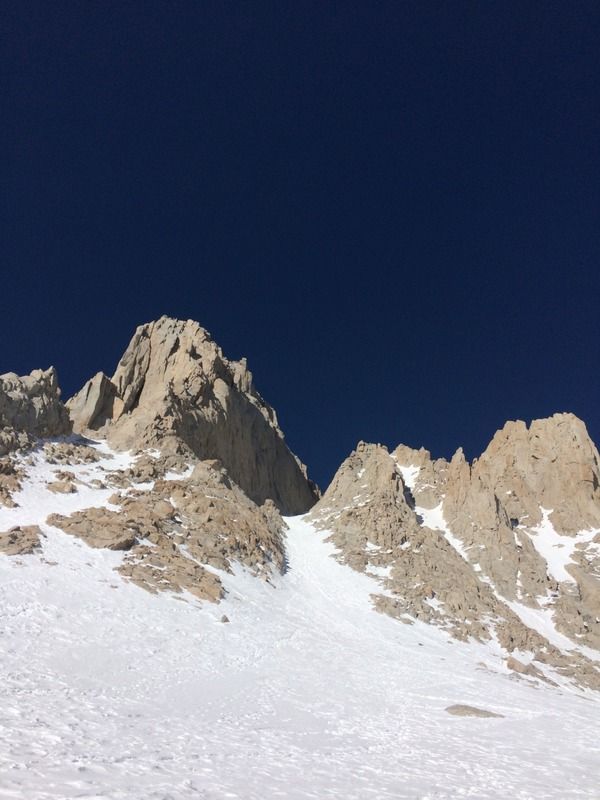
Nearing the top of the final 400
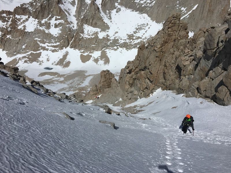
Topping out of the final 400
Looking down the final 400
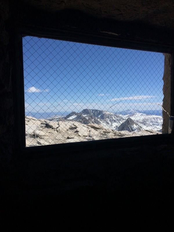
View from inside the summit hut
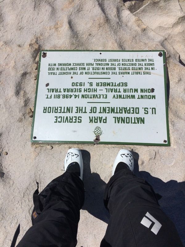
These ski boots are so light and comfortable
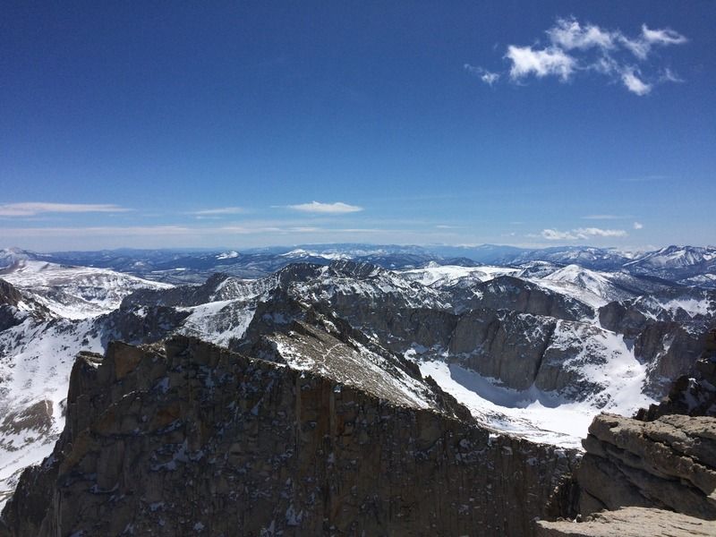
View south toward the needles
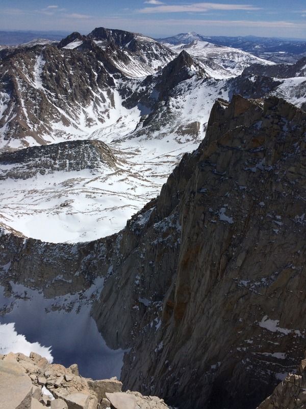
View southwest, you can actually see the main trail
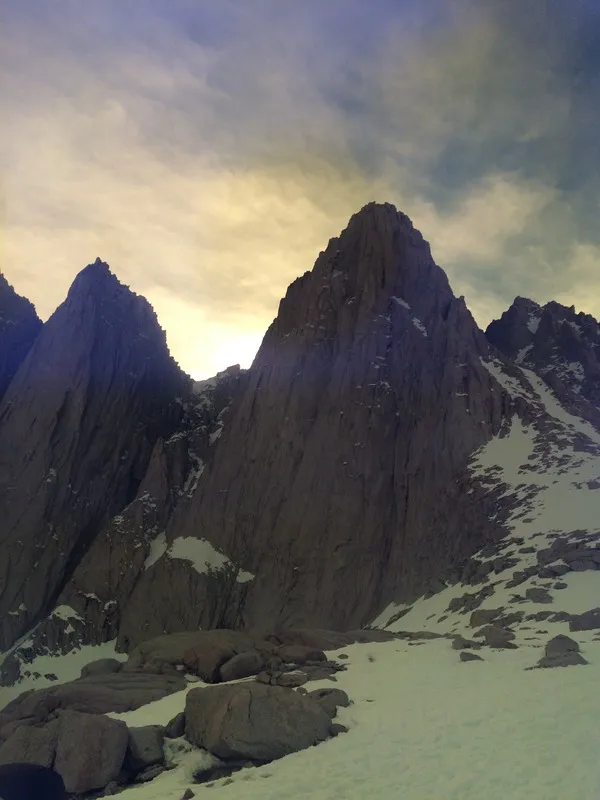
The last shot I took, the afternoon sun behind Whitney, through my ski glasses
And finally, the end of another wonderful adventure
