Hi all, does anyone know the difference in distance/miles between going up New Army Pass vs Old Army Pass to summit Langley? (Assume the standard start from Cottonwood Lakes TH).
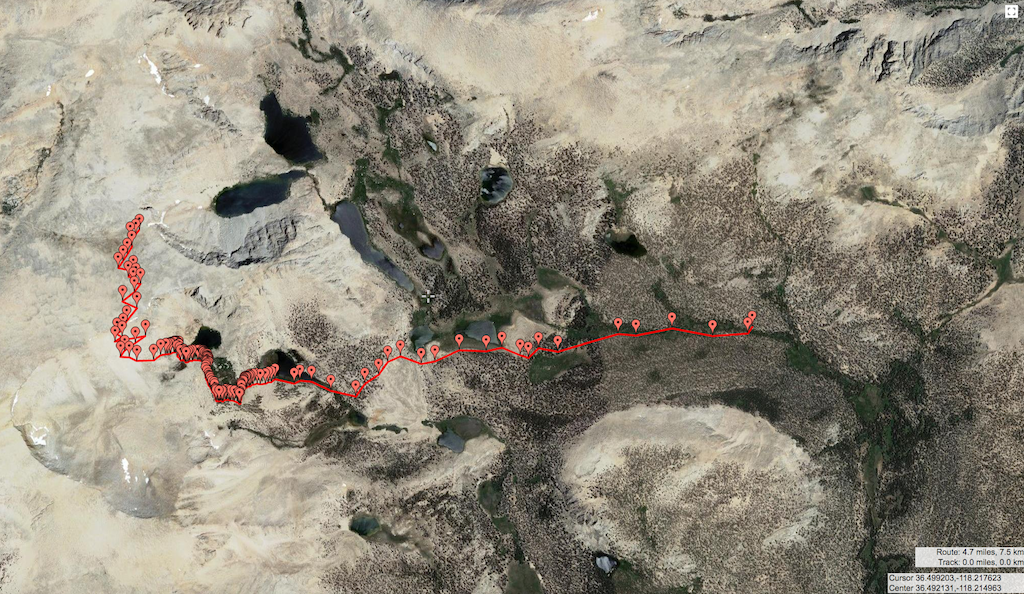
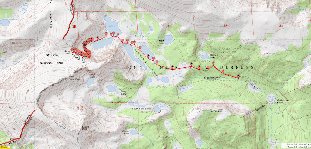
I did the "Old Army/New Army" loop a few years ago, and thought the "Old Army" was shorter. I just went to Gmap4, and measured the distances, and found Old Army to be 3.7 miles (one way) vs New Army to be 4.7 miles. These distances were measured from the forks where the routes intersect. Sorry, one is Satellite and the other is Topo. See images below:
Old Army
New Army