I hiked Mt. Tyndall (14025 feet) on Saturday May 23.
Warm conditions during the day softened the snow considerably and there were a lot of small point release avalanches.
Timesheet:
0630 - Start hiking from Shepherd Pass Trailhead.
0840 - Reach saddle (54 switchbacks from the last Symmes Creek crossing).
1100 - Cross landslide between Mahogany Flat and Anvil Camp.
1205 - Reach "The Pothole"
1430 - Top of Shepherd Pass
1600 - Base of Tyndall
1740 - Summit block
1805 - Summit Tyndall
1845 - Base of Tyndall via glissade.
1930 - Return to camp at WL3661.
I didn't bring a tent or bivy, just a sleeping pad and bag. Saturday night I camped at WL3661 (lake near Shepherd Pass) and there was a snowstorm that night, a few inches fell. I got a bit wet but didn't freeze - the sleeping bag (0 degree down from REI) held up better than I thought it would. I was in a small pit and was surrounded by a foot of snow (due to wind) when I got up in the morning. I was going to attempt Williamson on Sunday morning, but weather prevailed. Due to the fresh snow, conditions weren't good for Williamson and the other campers in the area were bailing on their attempt as well.
Posting pictures from Facebook (let me know if this doesn't work).
Edit: facebook pics didn't work. Here they are from Photobucket.
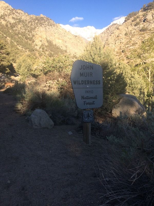
Entering John Muir Wilderness via Shepherd Pass trail
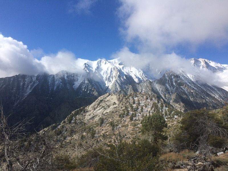
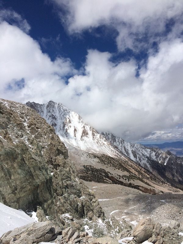
Massive Mt Williamson
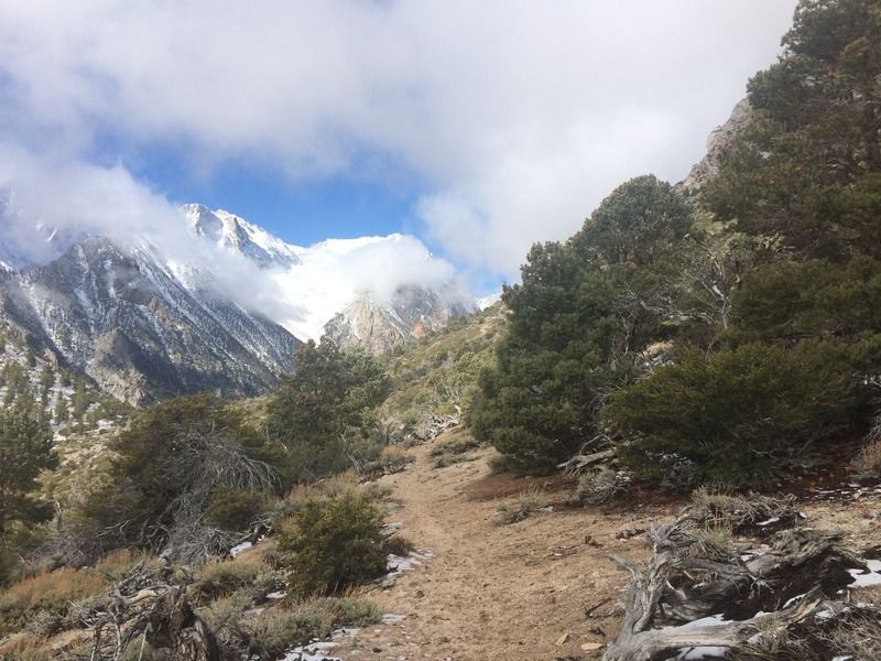
Shepherd Pass trail
Unnamed ridge
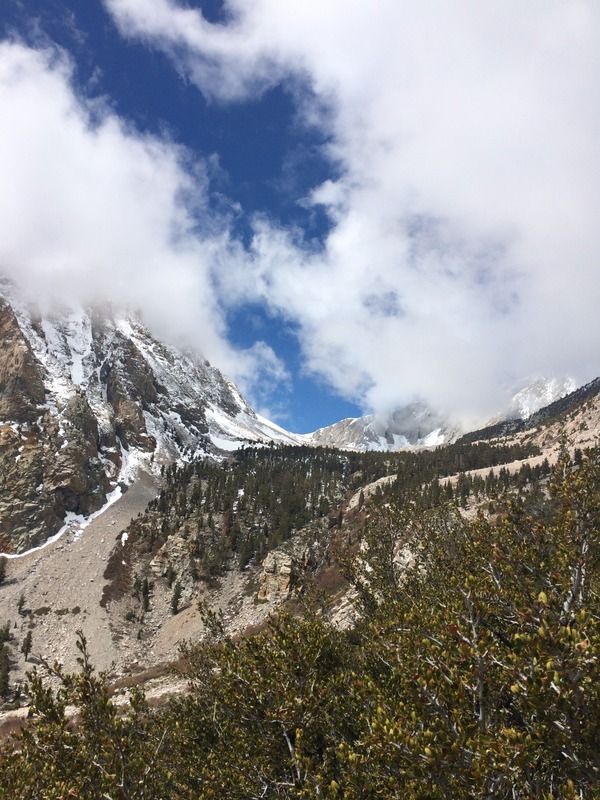
Looking toward Shepherd Pass from Mahogany Flat
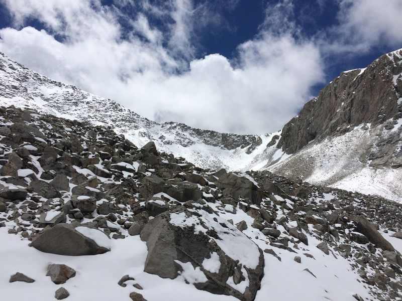
Shepherd Pass from the bottom of its bowl
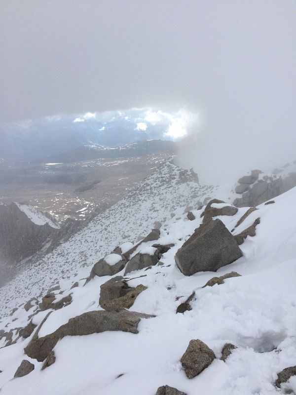
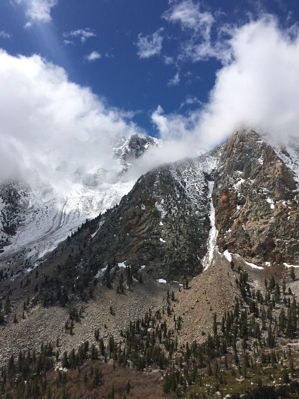
Clouds rolling in
Up the snow slope of Shepherd Pass
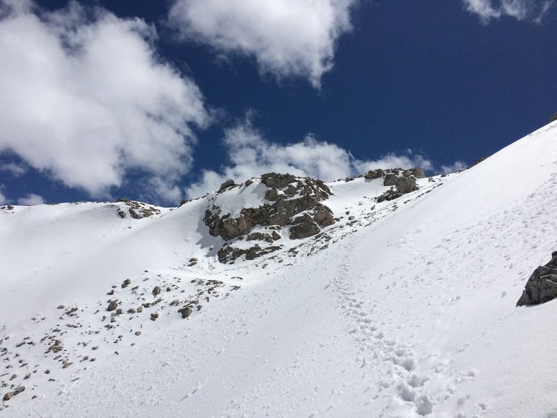
Heading up Shepherd Pass
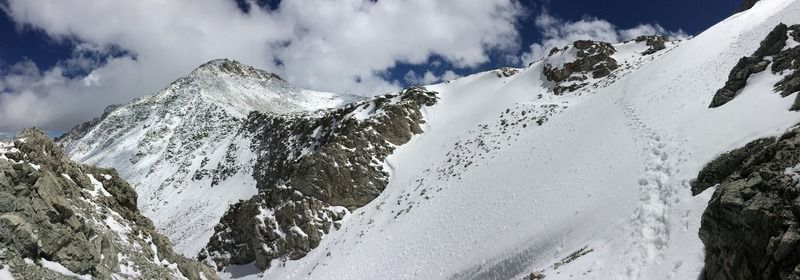
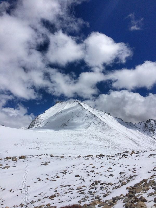
Mt Tyndall
Mt Keith
Summit smile

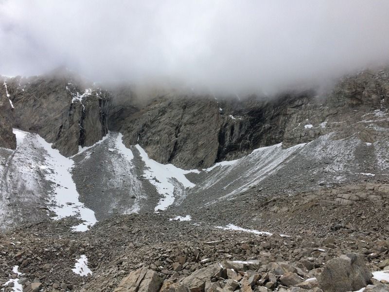
Cloudy summit of Mt Tyndall